Darzalas Peak
Darzalas Peak (Bulgarian: връх Дарзалас, romanized: vrah Darzalas, IPA: [ˈvrɤɣ dɐrˈzaɫɐs]) is the rocky, mostly ice-free peak rising to 934 m[1] in the south foothills of Detroit Plateau on Nordenskjöld Coast in Graham Land, Antarctica. The peak is situated between Bombardier and Dinsmoor Glaciers, and surmounting Mundraga Bay to the southeast.
Location
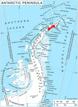
Darzalas Peak is located at 64°21′41″S 60°04′35″W, which is 11.28 km southwest of Trave Peak, 6.16 km north of Mount Elliott, 7.17 km east-northeast of Kavlak Peak, and 29.87 km southeast of Mount Ader in the border area between Davis Coast and Danco Coast. British mapping in 1978.
Maps
- British Antarctic Territory. Scale 1:200000 topographic map. DOS 610 Series, Sheet W 64 60. Directorate of Overseas Surveys, UK, 1978.
- Antarctic Digital Database (ADD). Scale 1:250000 topographic map of Antarctica. Scientific Committee on Antarctic Research (SCAR), 1993–2016.
Notes
- Reference Elevation Model of Antarctica. Polar Geospatial Center. University of Minnesota, 2019
References
- Darzalas Peak. SCAR Composite Antarctic Gazetteer.
- Bulgarian Antarctic Gazetteer. Antarctic Place-names Commission. (details in Bulgarian, basic data in English)
External links
- Darzalas Peak. Copernix satellite image
This article includes information from the Antarctic Place-names Commission of Bulgaria which is used with permission.