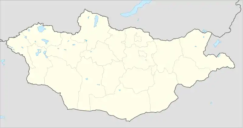
Dashbalbar, Dornod
Dashbalbar (Mongolian: Дашбалбар) is a sum (district) of Dornod Province in eastern Mongolia. The population of the sum in 2009 was 3,246, including 1,461 in the sum center. The sum covers 8,713 km² with a population density of 0.37 people/km².[1]
Dashbalbar District
Дашбалбар сум ᠳᠰᠢᠪᠠᠯᠪᠠᠷᠰᠤᠮᠤ | |
|---|---|
 Dashbalbar District | |
| Coordinates: 49°32′38″N 114°24′20″E | |
| Country | Mongolia |
| Province | Dornod Province |
| Area | |
| • Total | 8,713 km2 (3,364 sq mi) |
| Time zone | UTC+8 (UTC + 8) |
Climate
Dashbalbar has a subarctic climate (Köppen climate classification Dwc) with warm summers and severely cold winters. Most precipitation falls in the summer as rain, with some snow in the spring and autumn. Winters are very dry.
| Climate data for Dashbalbar | |||||||||||||
|---|---|---|---|---|---|---|---|---|---|---|---|---|---|
| Month | Jan | Feb | Mar | Apr | May | Jun | Jul | Aug | Sep | Oct | Nov | Dec | Year |
| Record high °C (°F) | −0.1 (31.8) |
7.3 (45.1) |
19.6 (67.3) |
27.5 (81.5) |
35.9 (96.6) |
37.7 (99.9) |
35.8 (96.4) |
41.4 (106.5) |
30.9 (87.6) |
27.1 (80.8) |
13.1 (55.6) |
5.3 (41.5) |
41.4 (106.5) |
| Average high °C (°F) | −13.6 (7.5) |
−9.3 (15.3) |
−0.3 (31.5) |
9.2 (48.6) |
17.6 (63.7) |
23.0 (73.4) |
24.9 (76.8) |
22.7 (72.9) |
16.7 (62.1) |
8.2 (46.8) |
−3.0 (26.6) |
−10.9 (12.4) |
7.1 (44.8) |
| Daily mean °C (°F) | −20.9 (−5.6) |
−17.9 (−0.2) |
−8.4 (16.9) |
1.4 (34.5) |
9.8 (49.6) |
16.1 (61.0) |
18.6 (65.5) |
16.4 (61.5) |
9.0 (48.2) |
0.4 (32.7) |
−10.3 (13.5) |
−17.7 (0.1) |
−0.3 (31.5) |
| Average low °C (°F) | −27.2 (−17.0) |
−25.2 (−13.4) |
−16.1 (3.0) |
−6.2 (20.8) |
1.7 (35.1) |
8.9 (48.0) |
12.7 (54.9) |
10.6 (51.1) |
3.3 (37.9) |
−6.0 (21.2) |
−16.0 (3.2) |
−23.1 (−9.6) |
−6.9 (19.6) |
| Record low °C (°F) | −38.3 (−36.9) |
−37.7 (−35.9) |
−31.4 (−24.5) |
−21.7 (−7.1) |
−11.5 (11.3) |
−1.3 (29.7) |
1.7 (35.1) |
−5.3 (22.5) |
−11.4 (11.5) |
−22.2 (−8.0) |
−34.5 (−30.1) |
−37.4 (−35.3) |
−38.3 (−36.9) |
| Average precipitation mm (inches) | 1.9 (0.07) |
1.3 (0.05) |
2.4 (0.09) |
13.2 (0.52) |
15.2 (0.60) |
48.3 (1.90) |
112.6 (4.43) |
87.6 (3.45) |
32.0 (1.26) |
4.7 (0.19) |
4.2 (0.17) |
2.7 (0.11) |
326.1 (12.84) |
| Average precipitation days (≥ 1.0 mm) | 0.4 | 0.4 | 0.9 | 2.3 | 4.1 | 10.9 | 18.3 | 17.9 | 6.4 | 1.6 | 1.4 | 0.8 | 65.4 |
| Source: NOAA (1976-1990) [2] | |||||||||||||
References
- "2009 Annual Report". Dornod Aimag Statistical Office. Archived from the original on April 29, 2012. Retrieved January 13, 2013.
- "Dashbalbar Climate Normals 1976-1990". National Oceanic and Atmospheric Administration. Retrieved January 13, 2013.
This article is issued from Wikipedia. The text is licensed under Creative Commons - Attribution - Sharealike. Additional terms may apply for the media files.
