Devil Track River
The Devil Track River is an 8.7-mile-long (14.0 km)[3] river in northeastern Minnesota, the United States. It begins at the outlet of Devil Track Lake and flows southeast to Lake Superior east of Croftville.
| Devil Track River | |
|---|---|
.jpg.webp) A stretch of Devil Track River | |
 Mouth of Devil Track River | |
| Location | |
| Country | United States |
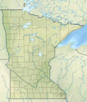
| State | Minnesota |
| County | Cook County |
| Physical characteristics | |
| Source | |
| • location | Devil Track Lake |
| • coordinates | 47.8186111°N 90.3675°W |
| Mouth | |
• location | Lake Superior |
• coordinates | 47.7682244°N 90.2612124°W[1] |
Devil Track River is a loose translation of the Ojibwe-language name.[4]
See also
References
- U.S. Geological Survey Geographic Names Information System: Devil Track River
- U.S. Geological Survey Geographic Names Information System: Devil Track River
- U.S. Geological Survey. National Hydrography Dataset high-resolution flowline data. The National Map Archived 2012-03-29 at the Wayback Machine, accessed May 7, 2012
- Warren Upham (1920). Minnesota Geographic Names: Their Origin and Historic Significance. Minnesota Historical Society. p. 142.
- Minnesota Watersheds
- USGS Hydrologic Unit Map — State of Minnesota (1974)
This article is issued from Wikipedia. The text is licensed under Creative Commons - Attribution - Sharealike. Additional terms may apply for the media files.