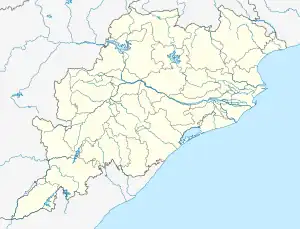
Dolia, Odisha
Dolia is a village in the Dhenkanal district of the Indian state of Odisha.[1] It is located in the Kankadahad block, and is administered by the Bam panchayat.[2] The village is located 63 km from the district headquarters Dhenkanal. The nearest town is Kamakshyanagar (30 km).
Dolia | |
|---|---|
Village | |
 Dolia Location in Odisha, India  Dolia Dolia (India) | |
| Coordinates: 21.133842°N 85.4929785°E | |
| Country | |
| State | Odisha |
| District | Dhenkanal |
| Government | |
| • MLA | Nrusingha Charan Sahu |
| Elevation | 105 m (344 ft) |
| Languages | |
| • Official | Odia |
| Time zone | UTC+5:30 (IST) |
| PIN | 759028 |
| Telephone code | 06768- |
| Vehicle registration | OR-06/OD-06 |
Geography
Dolia is situated at longitude 21.133842 and latitude 85.492978. It is located in the apex of the small river named "Batonai".
References
This article is issued from Wikipedia. The text is licensed under Creative Commons - Attribution - Sharealike. Additional terms may apply for the media files.