Douglas Glacier (Westland)
The Douglas Glacier is a glacier in New Zealand's Southern Alps located between Mount Sefton and Mount Brunner.[1] It is named after the explorer Charles Edward Douglas.[2]
| Douglas Glacier | |
|---|---|
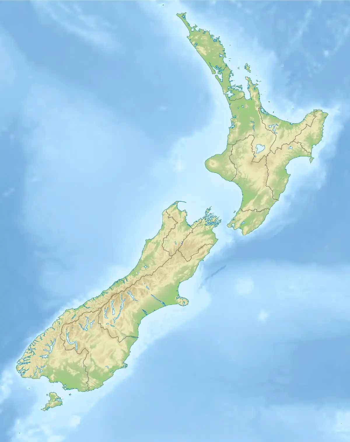 Douglas Glacier Location of Douglas Glacier in New Zealand | |
| Coordinates | 43.68°S 170.00°E |
| Length | 3.5 km (2.2 mi) |
| Width | 500 m (1,600 ft) |
| Status | Retreating |
The glacier sits in a valley and is fed by several streams and frequent avalanches which drop down a cliff face of over 1,000 feet from its névé to the north.[1] The glacier itself was approximately 5 miles long in 1908.[1] The glacier has a relatively high rate of moraine materials, consisting of "friable phyllites and schistose grauwackes".[1]
At the foot of the glacier is a lake that was created by glacier recession.[3] Reports from 1892 and 1934 indicated it had "an anomalously slow lake development".[4] The Douglas River (formerly known as the Twain) begins in the lake at the foot of the glacier.[1]
References
- Appendix to the Journals of the House of Representatives of New Zealand. House of Representatives. 1908. pp. 295–.
- Bateman New Zealand Encyclopedia. D. Bateman. 1987. ISBN 9780908610211.
- Transactions and Proceedings of the Royal Society of New Zealand. Otago Daily Times and Witness Newspapers Company. 1937.
- New Zealand Alpine Journal. New Zealand Alpine Club. 1995.