Dungditand
Dungditand is a village in Bokaro district in the state of Jharkhand, India. Dungditand comes under tehsil of Chas.
Dungditand | |
|---|---|
village | |
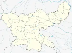
 Dungditand Location in Jharkhand, India  Dungditand Dungditand (India) | |
| Coordinates: 23.69°N 86.28°E | |
| Country | |
| State | Jharkhand |
| District | Bokaro |
| Elevation | 200 m (700 ft) |
| Languages | |
| • Official | Hindi, |
| Time zone | UTC+5:30 (IST) |
| PIN | 827013 |
| Telephone code | 06542 |
| Vehicle registration | JH-09 |
Geography
Dungditand is located at 23.69°N 86.28°E.It has an average elevation of 200 metres (655 feet). It is situated few kilometers away from National Highway 23 and National Highway 32.
Demographics
The languages spoken include Hindi, Bengali, Kudmali/Kurmali, and Khortha language.
See also
References
This article is issued from Wikipedia. The text is licensed under Creative Commons - Attribution - Sharealike. Additional terms may apply for the media files.
