Dunmovin, California
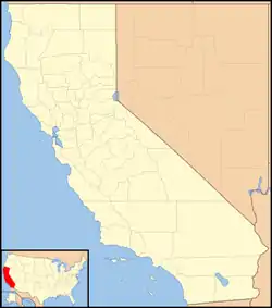
Dunmovin (formerly, Cowan Station)[3] is an unincorporated community in Inyo County, California.[1] It is located 4.8 km (3 mi) north of Coso Junction and 21.6 km (13.5 mi) south-southeast of Olancha, at an elevation of 3507 feet (1069 m).[1]

Dunmovin | |
|---|---|
 Dunmovin Location in California  Dunmovin Dunmovin (the United States) | |
| Coordinates: 36°05′19″N 117°57′40″W | |
| Country | United States |
| State | California |
| County | Inyo County |
| Elevation | 3,507 ft (1,069 m) |
| Population | |
| • Total | 6 |
The Current population of Dunmovin as of the 2020 Census is of six, within Census Tract 8, block 2274 and Block 2332.[2]
Dunmovin is zoned for Rural Residential High density Retail Commercial on the eastern end of Dunmovin, and Natural Resources, which allows mining, on the Western end[4]
A post office operated at Dunmovin from 1938 to 1941.[3] The place was originally called Cowan Station in honor of homesteader James Cowan.[3] Cowan Station was a freight station for silver ingots being transported from the Cerro Gordo Mines to Los Angeles. When Cowan sold out in 1936, the name was changed to Dunmovin.[3] It was a roadside service station, cafe, and store along U.S. Route 395.
References
- U.S. Geological Survey Geographic Names Information System: Dunmovin, California
- "Explore Census Data".
- Durham, David L. (1998). California's Geographic Names: A Gazetteer of Historic and Modern Names of the State. Clovis, Calif.: Word Dancer Press. p. 1162. ISBN 1-884995-14-4.
- https://www.inyocounty.us/sites/default/files/2020-02/Landuse%20Diagrams.pdf
