Eagle Creek Colony, Montana
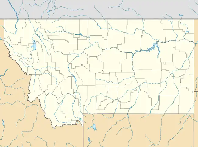
Eagle Creek Colony is a Hutterite community[3] and census-designated place (CDP) in Liberty County, Montana, United States. It is in the northwest part of the county, 20 miles (32 km) northwest of Chester, the county seat.
Eagle Creek Colony, Montana | |
|---|---|
 Eagle Creek Colony  Eagle Creek Colony | |
| Coordinates: 48°42′1″N 111°12′2″W | |
| Country | United States |
| State | Montana |
| County | Liberty |
| Area | |
| • Total | 0.40 sq mi (1.04 km2) |
| • Land | 0.40 sq mi (1.04 km2) |
| • Water | 0.00 sq mi (0.00 km2) |
| Elevation | 3,600 ft (1,100 m) |
| Population (2020) | |
| • Total | 164 |
| • Density | 410.00/sq mi (158.32/km2) |
| Time zone | UTC-7 (Mountain (MST)) |
| • Summer (DST) | UTC-6 (MDT) |
| ZIP Code | 59444 (Galata) |
| Area code | 406 |
| FIPS code | 30-22655 |
| GNIS feature ID | 2804307[2] |
The community was first listed as a CDP prior to the 2020 census.[2]
References
- "ArcGIS REST Services Directory". United States Census Bureau. Retrieved September 5, 2022.
- "Eagle Creek Colony Census Designated Place". Geographic Names Information System. United States Geological Survey, United States Department of the Interior.
- Morton, Claudette, ed. (2010). Essential Understandings of Montana Hutterites: A Resource for Educators and Students (PDF). Montana Office of Public Instruction. p. 2. Retrieved June 11, 2021.
- "Census of Population and Housing". Census.gov. Retrieved June 4, 2016.
Municipalities and communities of Liberty County, Montana, United States | ||
|---|---|---|
| Town | 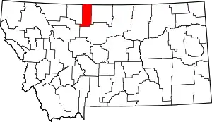 Liberty County map | |
| CDPs | ||
| Unincorporated communities | ||
| Indian reservation | ||
| Footnotes | ‡This populated place also has portions in an adjacent county or counties | |
This article is issued from Wikipedia. The text is licensed under Creative Commons - Attribution - Sharealike. Additional terms may apply for the media files.