Eagle Peak (New Mexico)
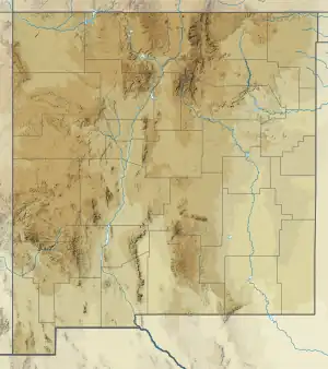
Eagle Peak is a mountain in Catron County, New Mexico, near the town of Reserve.[3] The summit is the highest point in the Tularosa Mountains.[4]
| Eagle Peak | |
|---|---|
 Eagle Peak | |
| Highest point | |
| Elevation | 9,801 ft (2,987 m) NAVD 88[1] |
| Prominence | 2,266 ft (691 m)[2] |
| Coordinates | 33°40′37″N 108°34′37″W[1] |
| Geography | |
| Location | Catron County, New Mexico, U.S. |
| Parent range | Tularosa Mountains |
| Topo map | USGS Eagle Peak |
References
- "Eagle Peak ET". NGS Data Sheet. National Geodetic Survey, National Oceanic and Atmospheric Administration, United States Department of Commerce. Retrieved 2011-05-14.
- "Eagle Peak, New Mexico". Peakbagger.com. Retrieved 2011-05-14.
- Survey, U. S. Coast and Geodetic; Culley, Frank Lambuth (1940). Triangulation in New Mexico: 1927 Datum. U.S. Government Printing Office.
- Office, United States Bureau of Land Management New Mexico State (1986). New Mexico Statewide Wilderness Study: Appendices, wilderness analysis reports (Las Cruces District). U.S. Department of the Interior, Bureau of Land Management, New Mexico State Office.
This article is issued from Wikipedia. The text is licensed under Creative Commons - Attribution - Sharealike. Additional terms may apply for the media files.