East Beckham
East Beckham is a village and a civil parish in the English county of Norfolk.[2] The village is 23.4 miles (37.7 km) north of Norwich, 5 miles (8 km) south-west of Cromer and 137 miles (220 km) north-east of London. The nearest railway station is in the town of Sheringham, where access to the national rail network can be made via the Bittern Line to Norwich. The nearest Airport is Norwich International Airport. East Beckham is within the area covered by North Norfolk District Council. At the 2011 Census the population was less than 100 and is included with civil parish of West Beckham.
| East Beckham | |
|---|---|
 Gur Beck in East Beckham | |
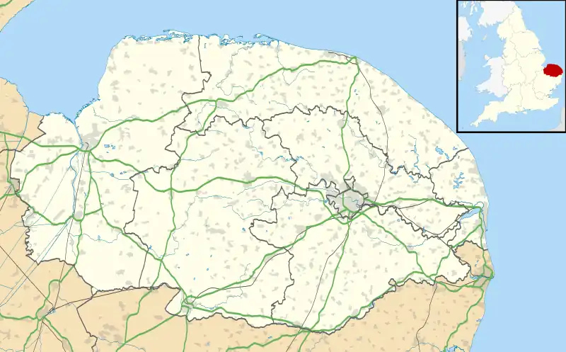
 East Beckham Location within Norfolk | |
| Area | 3.04 km2 (1.17 sq mi) |
| Population | 35 (2001 census[1]) |
| • Density | 12/km2 (31/sq mi) |
| OS grid reference | TG160390 |
| • London | 137 miles (220 km) |
| Civil parish | |
| District | |
| Shire county | |
| Region | |
| Country | England |
| Sovereign state | United Kingdom |
| Post town | Norwich |
| Postcode district | NR11 |
| Dialling code | 01263 |
| Police | Norfolk |
| Fire | Norfolk |
| Ambulance | East of England |
| UK Parliament | |
The villages name means 'Becca's homestead/village' or perhaps, 'Becca's hemmed-in land'. 'East' to distinguish from West Beckham.
Gresham Family
James Gresham (1442–1497), Lord of the Manor of East Beckham, was the grandfather of the Sir John Gresham who founded Gresham's School[3] in 1555 and the great-grandfather of the Sir Thomas Gresham who established Gresham College and the Royal Exchange in the City of London.
References
- Census population and household counts for unparished urban areas and all parishes. Office for National Statistics & Norfolk County Council (2001). Retrieved 20 June 2009.
- OS Explorer Map 252 – Norfolk Coast East. ISBN 978-0-319-23815-8.
- I Will Plant Me a Tree: an Illustrated History of Gresham's School by S. G. G. Benson & Martin Crossley Evans (James & James, London, 2002)
http://kepn.nottingham.ac.uk/map/place/Norfolk/East%20Beckham