Eendekuil
Eendekuil is a settlement in West Coast District Municipality in the Western Cape province of South Africa.
Eendekuil | |
|---|---|
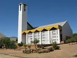 Eendekuil Church | |
 Eendekuil 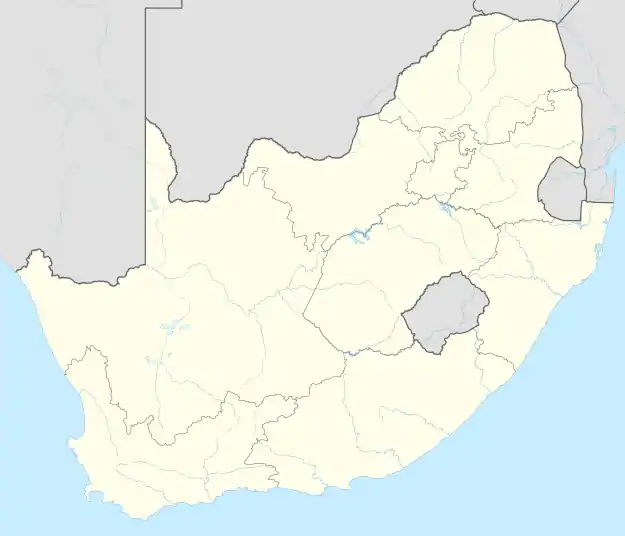 Eendekuil | |
| Coordinates: 32°41′S 18°53′E | |
| Country | South Africa |
| Province | Western Cape |
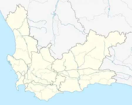
| District | West Coast |
| Municipality | Bergrivier |
| Area | |
| • Total | 0.85 km2 (0.33 sq mi) |
| Population (2011)[1] | |
| • Total | 1,530 |
| • Density | 1,800/km2 (4,700/sq mi) |
| Racial makeup (2011) | |
| • Black African | 2.2% |
| • Coloured | 89.3% |
| • Indian/Asian | 1.1% |
| • White | 6.5% |
| • Other | 0.9% |
| First languages (2011) | |
| • Afrikaans | 96.9% |
| • Other | 3.1% |
| Time zone | UTC+2 (SAST) |
| PO box | 7335 |
| Area code | 022 |
Situated 30 km (19 mi) north of Piketberg, the village was the terminus of the Cape Town railway until the end of the Anglo-Boer War, and it remains the railhead for the Citrusdal region, which lies on the other side of the Olifants River.[2]
References
- "Main Place Eendekuil". Census 2011.
- B. P. J. Erasmus (30 September 1995). Op Pad in Suid Afrika: 'n Gids Tot Suid-Afrika, Streek Vir Streek. Jonathan Ball Publishers. p. 44. ISBN 978-1-86842-026-1.
Municipalities and communities of West Coast District Municipality, Western Cape | ||
|---|---|---|
District seat: Moorreesburg | ||
| Matzikama | .svg.png.webp) West Coast District within South Africa | |
| Cederberg | ||
| Bergrivier | ||
| Saldanha Bay | ||
| Swartland | ||
This article is issued from Wikipedia. The text is licensed under Creative Commons - Attribution - Sharealike. Additional terms may apply for the media files.