Feya Tarn
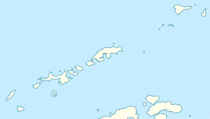
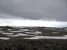
Feya Tarn (Bulgarian: езеро Фея, romanized: ezero Feya, IPA: [ˈɛzɛro ˈfɛjɐ]) is the oval-shaped 65 m long in south–north direction and 60 m wide tarn on eastern Byers Peninsula, Livingston Island in the South Shetland Islands, Antarctica. It has a surface area of 0.28 ha and drains northwards into Barclay Bay by way of Eridanus Stream.[1]
| Feya Tarn | |
|---|---|
 Feya Tarn | |
| Location | Livingston Island, Antarctica |
| Coordinates | 62°38′27″S 61°00′44.5″W |
| Lake type | Glacial lake |
| Primary outflows | Eridanus Stream |
| Max. length | 65 metres (213 ft) |
| Max. width | 60 metres (200 ft) |
| Surface area | 0.28 hectares (0.69 acres) |


The feature is named after the mythical creatures in European folklore, Feya being the Bulgarian for Fay, Fairy.[1]
Location
Feya Tarn is centred at 62°38′27″S 61°00′44.5″W, which is 3.15 km south-southeast of Lair Point, 1.75 m south-southwest of Sparadok Point and 500 m west-southwest of Tsamblak Hill. Detailed Spanish mapping in 1992, and Bulgarian mapping in 2009 and 2017.
Maps
- Península Byers, Isla Livingston. Mapa topográfico a escala 1:25000. Madrid: Servicio Geográfico del Ejército, 1992
- L. Ivanov. Antarctica: Livingston Island and Greenwich, Robert, Snow and Smith Islands. Scale 1:120000 topographic map. Troyan: Manfred Wörner Foundation, 2009. ISBN 978-954-92032-6-4
- L. Ivanov. Antarctica: Livingston Island and Smith Island. Scale 1:100000 topographic map. Manfred Wörner Foundation, 2017. ISBN 978-619-90008-3-0
- Antarctic Digital Database (ADD). Scale 1:250000 topographic map of Antarctica. Scientific Committee on Antarctic Research (SCAR). Since 1993, regularly upgraded and updated
See also
Notes
- Feya Tarn. SCAR Composite Gazetteer of Antarctica
References
- Feya Tarn. SCAR Composite Gazetteer of Antarctica
- Bulgarian Antarctic Gazetteer. Antarctic Place-names Commission. (details in Bulgarian, basic data in English)
- Management Plan for Antarctic Specially Protected Area No. 126 Byers Peninsula. Measure 4 (2016), ATCM XXXIX Final Report. Santiago, 2016
External links
- Feya Tarn. Adjusted Copernix satellite image
This article includes information from the Antarctic Place-names Commission of Bulgaria which is used with permission.