Floydale, South Carolina
Floyd Dale, shown on federal maps as Floydale,[3] is an unincorporated community and census-designated place (CDP) in Dillon County, South Carolina, United States. It was first listed as a CDP in the 2020 census with a population of 421.[4]
Floyd Dale | |
|---|---|
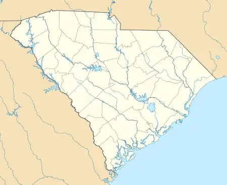 Floyd Dale Location within the state of South Carolina | |
| Coordinates: 34°19′26″N 79°20′10″W | |
| Country | United States |
| State | South Carolina |
| County | Dillon |
| Area | |
| • Total | 2.03 sq mi (5.25 km2) |
| • Land | 2.03 sq mi (5.25 km2) |
| • Water | 0.00 sq mi (0.00 km2) |
| Population | |
| • Total | 421 |
| • Density | 207.59/sq mi (80.16/km2) |
| Time zone | UTC-5 (Eastern (EST)) |
| • Summer (DST) | UTC-4 (EDT) |
| FIPS code | 45-25945 |
Near Floyd Dale, there is the Diversified Communications Tower, a guyed mast, which is one of the tallest constructions in the world. This town is home to the Benton family, for whom the main road is named.
The Meekins Barn and Smith Tobacco Barn are listed on the U.S. National Register of Historic Places.[5]
Demographics
| Census | Pop. | Note | %± |
|---|---|---|---|
| 2020 | 421 | — | |
| U.S. Decennial Census[6] 2020[7][2] | |||
2020 census
| Race / Ethnicity | Pop 2020[7] | % 2020 |
|---|---|---|
| White alone (NH) | 308 | 73.16% |
| Black or African American alone (NH) | 80 | 19.00% |
| Native American or Alaska Native alone (NH) | 8 | 1.90% |
| Asian alone (NH) | 1 | 0.24% |
| Pacific Islander alone (NH) | 0 | 0.00% |
| Some Other Race alone (NH) | 2 | 0.48% |
| Mixed Race/Multi-Racial (NH) | 12 | 2.85% |
| Hispanic or Latino (any race) | 10 | 2.38% |
| Total | 421 | 100.00% |
Note: the US Census treats Hispanic/Latino as an ethnic category. This table excludes Latinos from the racial categories and assigns them to a separate category. Hispanics/Latinos can be of any race.
References
- "ArcGIS REST Services Directory". United States Census Bureau. Retrieved October 15, 2022.
- "Census Population API". United States Census Bureau. Retrieved October 15, 2022.
- U.S. Geological Survey Geographic Names Information System: Floydale
- "Floydale CDP, South Carolina". United States Census Bureau. Retrieved April 7, 2022.
- "National Register Information System". National Register of Historic Places. National Park Service. July 9, 2010.
- "Decennial Census of Population and Housing by Decades". US Census Bureau.
- "P2 HISPANIC OR LATINO, AND NOT HISPANIC OR LATINO BY RACE – 2020: DEC Redistricting Data (PL 94-171) – Floydale CDP, South Carolina". United States Census Bureau.
Municipalities and communities of Dillon County, South Carolina, United States | ||
|---|---|---|
| City | 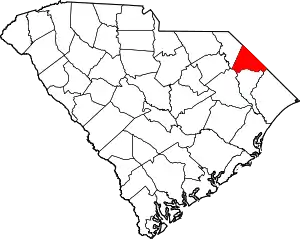 Map of South Carolina highlighting Dillon County | |
| Towns | ||
| CDPs | ||
| Other communities | ||
This article is issued from Wikipedia. The text is licensed under Creative Commons - Attribution - Sharealike. Additional terms may apply for the media files.