Fort Portal–Kasese–Mpondwe Road
The Fort Portal–Kasese–Mpondwe Road also Fort Portal–Mpondwe Road, is a road in the Western Region of Uganda, connecting the towns of Fort Portal, Hima, Kasese, Kikorongo and the border town of Mpondwe.
| Fort Portal–Kasese–Mpondwe Road | |
|---|---|
| Route information | |
| Length | 83 mi (134 km) |
| Major junctions | |
| East end | Fort Portal |
| Rwimi Hima Kasese Kikorongo | |
| West end | Mpondwe |
| Location | |
| Country | Uganda |
| Highway system | |
Location
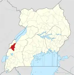
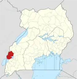
The road starts at Fort Portal, the headquarters of Kabarole District. It travels southwestwards through Rwimi, Hima, Kasese and Kikorongo. At Kiorongo, the road makes a 90 degree turn westwards to end at Mpondwe, at the international border with the Democratic Republic of the Congo, a total distance of about 135 kilometres (84 mi).[1] The coordinates of the road at Kikorongo are:0°00'00.0"N, 29°59'55.0"E (Latitude:0.000003; 29.998607).[2]
Upgrade to bituminous surface
This road was improved to class II bituminous surface before 2013.[3]
Points of interest
The following lie along or near this road
1. Virika Hospital, located in Fort Portal's central business district.[4]
2. The town of Rwimi, about 45 kilometres (28 mi), south of Fort Portal.[5]
3. Hima, lies about 56 kilometres (35 mi) south of Fort Portal.[6]
4. Kasese Airport, in the middle the town of Kasese, about 77 kilometres (48 mi) south of Fort Portal.[7]
5. Kasese Cobalt Company Limited lies in Kasese, south of the central business district.
6. At Kikorongo, the road takes a 90 degrees turn to the right and heads westwards towards the border with the Democratic Republic of the Congo. Kikorongo is a town in Kasese District, about 22 kilometres (14 mi), south of Kasese.[8]
7. At Katojo Village a road branches off this road and proceeds south to Katwe Village and Mweya Safari Lodge, inside Queen Elizabeth National Park.[9]
References
- Google (23 October 2022). "Road Distance Between Fort Portal, Western Region, Uganda And Customs Mpondwe, Bwera, Kasese District, Western Region, Uganda" (Map). Google Maps. Google. Retrieved 23 October 2022.
- Google (23 October 2022). "Location of Fort Portal–Kasese–Mpondwe Road" (Map). Google Maps. Google. Retrieved 23 October 2022.
- Rwanyekiro, Isaiah (12 February 2013). "Uganda's Road Network has improved significantly". New Vision. Kampala. Retrieved 20 May 2016.
- Google. "Location of Virika Hospital, Fort Portal, Uganda" (Map). Google Maps. Google.
- Google (23 October 2022). "Road Distance Between Fort Portal, Western Region, Uganda And Rwimi, Western Region, Uganda" (Map). Google Maps. Google. Retrieved 23 October 2022.
- Google (23 October 2022). "Road Distance Between Fort Portal, Uganda And Hima, Uganda" (Map). Google Maps. Google. Retrieved 23 October 2022.
- Google (23 October 2022). "Road Distance Between Fort Portal, Uganda And Kasese, Uganda" (Map). Google Maps. Google. Retrieved 23 October 2022.
- Google (23 October 2022). "Road Distance Between Kasese, Uganda And Kikorongo Junction, Uganda" (Map). Google Maps. Google. Retrieved 23 October 2022.
- Google (23 October 2022). "Location of Katojo Village Where Road to Katwe Village And Mweya Safari Lodge Branches off Fort Portal–Kasese–Mpondwe Road" (Map). Google Maps. Google. Retrieved 23 October 2022.

