Francis Point Provincial Park
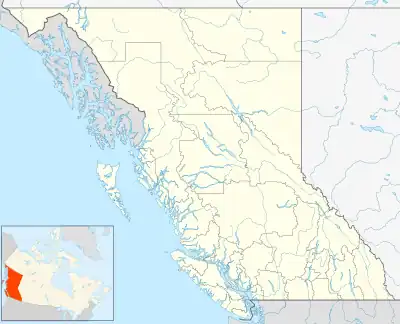
Francis Point Provincial Park is a provincial park in British Columbia, Canada, located on the southwest end of the Francis Peninsula, south of the community of Pender Harbour on the west side of the Sechelt Peninsula in the Sunshine Coast region. Established in 2004, the park is 81 ha. in size, 72 ha. of it upland, the other 9 ha. foreshore.
| Francis Point Provincial Park | |
|---|---|
 Map of British Columbia | |
| Location | New Westminster Land District, British Columbia, Canada |
| Nearest city | Pender Harbour, BC |
| Coordinates | 49°36′43″N 124°03′28″W |
| Area | 83 ha. (0.83 km²) |
| Established | May 17, 2004 |
| Governing body | BC Parks |
.jpg.webp)
The lighthouse at Francis Point Provincial Park
References
This article is issued from Wikipedia. The text is licensed under Creative Commons - Attribution - Sharealike. Additional terms may apply for the media files.