Göktürk, Istanbul
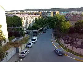
Göktürk or Göktürk Merkez, formerly known as Pektinaxôrion or Petnahor, is a neighbourhood in the municipality and district of Eyüpsultan, Istanbul Province, Turkey.[2] Its population is 39,639 (2022).[3] It was an independent municipality until it was merged into the municipality of Eyüp in 2008.[4]
Göktürk | |
|---|---|
 | |
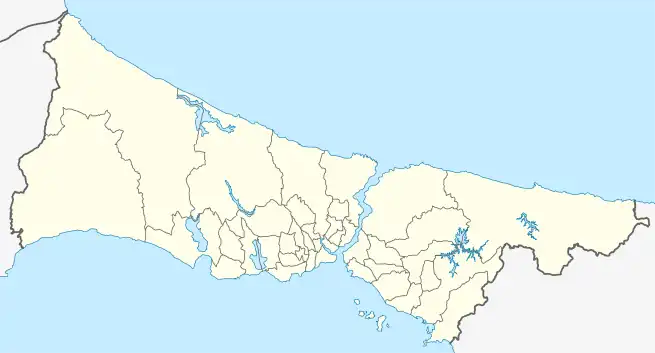
 Göktürk Location in Turkey  Göktürk Göktürk (Istanbul) | |
| Coordinates: 41°10′47″N 28°53′17″E | |
| Country | Turkey |
| Province | Istanbul |
| District | Eyüpsultan |
| Population (2022) | 39,639 |
| Time zone | TRT (UTC+3) |
| Postal code | 34077[1] |
| Area code | 0212 |

Göktürk Pond Nature Park
Kemerburgaz quarter is located within the boundaries of Göktürk.
Transportation
Bus Lines
Göktürk is served by the public bus lines.[5]
- 48: Göktürk - Mecidiyeköy
- 48A: Göktürk - Kazlıçeşme Marmaray
- 48D: Göktürk - Hacıosman Metro
- 48E: Göktürk - Eminönü
- 48G: Göktürk - Pirinççiköy - Mescid-i Selam
- 48K: Kemerburgaz - Ağaçlı
- 48L: Göktürk - 4. Levent Metro
- 48P: Kemerburgaz - Akpınar
- 48KA: Kemerburgaz - Arnavutköy
- 48Y: Göktürk - Yeşilpınar
- H-2: Mecidiyeköy - Istanbul Airport (Only night service)
References
- "İstanbul Eyüp Göktürk Mahallesi'nin posta kodu kaç?" (in Turkish). Posta Kodu. Retrieved 2015-03-06.
- Mahalle, Turkey Civil Administration Departments Inventory. Retrieved 12 July 2023.
- "Address-based population registration system (ADNKS) results dated 31 December 2022, Favorite Reports" (XLS). TÜİK. Retrieved 12 July 2023.
- Kanun No. 5747, Resmî Gazete, 22 March 2008.
- "48 Göktürk - Mecidiyeköy İETT Otobüs Sefer Saatleri" (in Turkish). İETT. Retrieved 2015-03-10.
Wikimedia Commons has media related to Göktürk, Eyüpsultan.
This article is issued from Wikipedia. The text is licensed under Creative Commons - Attribution - Sharealike. Additional terms may apply for the media files.