Galgaguta
Galgaguta (Slovak: Guta) is a village in Nógrád county, Hungary.
| Year | Population |
|---|---|
| 1870 | 679 |
| 1880 | 568 |
| 1890 | 625 |
| 1900 | 659 |
| 1910 | 705 |
| 1920 | 860 |
| 1930 | 981 |
| 1941 | 1020 |
| 1949 | 997 |
| 1960 | 952 |
| 1970 | 937 |
| 1980 | 928 |
| 1990 | 808 |
| 2001 | 768 |
| 2011 | 657 |
Galgaguta | |
|---|---|
 Coat of arms | |
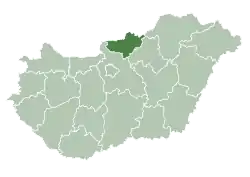
 Galgaguta Location of Galgaguta | |
| Coordinates: 47.85092°N 19.38805°E | |
| Country | |
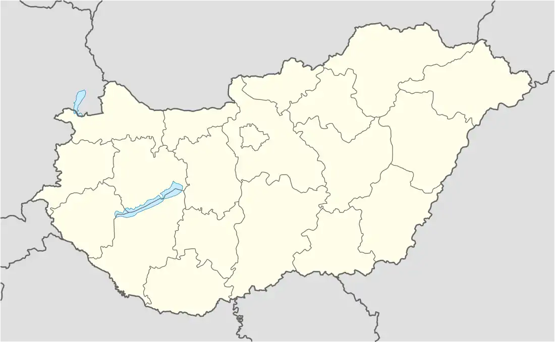
| County | Nógrád |
| Area | |
| • Total | 15.89 km2 (6.14 sq mi) |
| Population (2004) | |
| • Total | 725 |
| • Density | 45.62/km2 (118.2/sq mi) |
| Time zone | UTC+1 (CET) |
| • Summer (DST) | UTC+2 (CEST) |
| Postal code | 2686 |
| Area code | 35 |
References
- "Nógrád county - Data on localities - Population number, population density". Hungarian Central Statistical Office/Központi Statisztikai Hivatal. Retrieved 2021-05-22.
External links
- Street map (in Hungarian)

This article is issued from Wikipedia. The text is licensed under Creative Commons - Attribution - Sharealike. Additional terms may apply for the media files.