Geer, Vijfheerenlanden
Geer is a hamlet in the Dutch province of Utrecht. It is a part of the municipality of Vijfheerenlanden, and lies about 9 km northeast of Gorinchem.
Geer | |
|---|---|
Hamlet | |
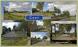 Postcard of Geer | |
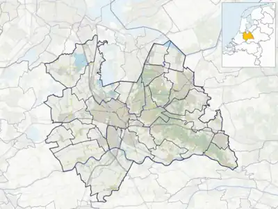 Geer Location in the Netherlands  Geer Geer (Netherlands) | |
| Coordinates: 51°54′N 5°3′E | |
| Country | Netherlands |
| Province | Utrecht |
| Municipality | Vijfheerenlanden |
| Area | |
| • Total | 1.69 km2 (0.65 sq mi) |
| Population (2021)[1] | |
| • Total | 110 |
| • Density | 65/km2 (170/sq mi) |
| Time zone | UTC+1 (CET) |
| • Summer (DST) | UTC+2 (CEST) |
| Postal code | 4243[1] |
| Dialing code | 0183 |
The hamlet was first mentioned in 1874 as Geer (De), and means "tapering piece of land".[2] The postal authorities have placed it under Nieuwland.[3] In 1840, it was home to 138 people.[4]
References
- "Kerncijfers wijken en buurten 2021". Central Bureau of Statistics. Retrieved 27 March 2022.
- "Geer - (geografische naam)". Etymologiebank (in Dutch). Retrieved 27 March 2022.
- "Postcode 4243 in Nieuwland". Postcode bij adres (in Dutch). Retrieved 27 March 2022.
- "Geer (Nieuwland)". Plaatsengids (in Dutch). Retrieved 27 March 2022.
This article is issued from Wikipedia. The text is licensed under Creative Commons - Attribution - Sharealike. Additional terms may apply for the media files.