Getatagh
Getatagh (Armenian: Գետաթաղ) is a village in the Sisian Municipality of the Syunik Province in Armenia.
Getatagh
Գետաթաղ | |
|---|---|
 Saint Astvatsatsin Church in Getatagh | |
 Getatagh 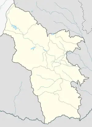 Getatagh | |
| Coordinates: 39°25′29″N 46°07′17″E | |
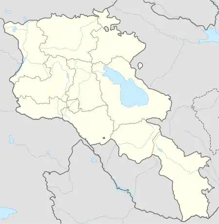
| Country | Armenia |
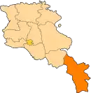
| Province | Syunik |
| Municipality | Sisian |
| Area | |
| • Total | 21.76 km2 (8.40 sq mi) |
| Population | |
| • Total | 182 |
| • Density | 8.4/km2 (22/sq mi) |
| Time zone | UTC+4 (AMT) |
| Getatagh at GEOnet Names Server | |
History
The town's church, Saint Astvatsatsin, dates from 1702.[3]
Demographics
The Statistical Committee of Armenia reported its population as 220 in 2010,[4] up from 194 at the 2001 census.[5]
References
Wikimedia Commons has media related to Getatagh.
- "Syunik regional e-Governance System" (in Armenian). Syunik Province provincial government. Click on link entitled "Համայնքներ" (community) and search for the place by Armenian name.
- Statistical Committee of Armenia. "The results of the 2011 Population Census of Armenia" (PDF).
- Kiesling, Rediscovering Armenia, p. 94, available online at the US embassy to Armenia's website Archived June 26, 2008, at the Wayback Machine
- "Marzes of Armenia and Yerevan City in Figures, 2010" (PDF). Statistical Committee of Armenia.
- Report of the results of the 2001 Armenian Census, Statistical Committee of Armenia
This article is issued from Wikipedia. The text is licensed under Creative Commons - Attribution - Sharealike. Additional terms may apply for the media files.