Glass site
The Glass site (22 WR 502) is a Plaquemine culture archaeological site located approximately 9.5 kilometres (5.9 mi) south of Vicksburg in Warren County, Mississippi. Originally the site had four platform mounds surrounding a large open plaza, but land leveling for modern farming techniques and looting by pothunters mean only portions of three have survived into the 21st century. It was a major ceremonial center that was contemporaneous with other large Plaquemine sites including Emerald, Holly Bluff, and Winterville and whose main occupation period occurred during the protohistoric period from 1500 to 1650 CE. Parts of the site were excavated by Clarence Bloomfield Moore in 1910 and 1911, and by Lauren Elizabeth Downs in 2007-2009.[1] The mounds are listed on the Mississippi Mound Trail.[2]
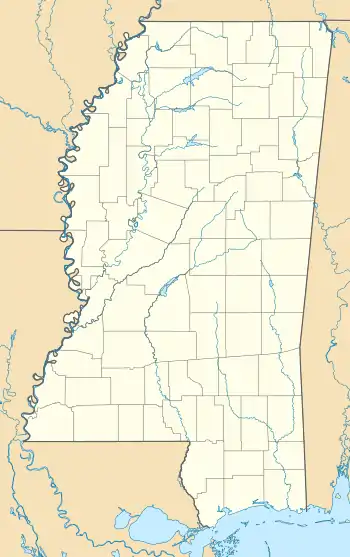
 Location within Mississippi today | |
| Location | Vicksburg, Mississippi, |
|---|---|
| Region | Warren County, Mississippi |
| Coordinates | 32°13′46.49″N 90°56′10.032″W |
| History | |
| Cultures | Plaquemine culture |
| Site notes | |
| Excavation dates | 1910-1911, 2007-2009 |
| Archaeologists | Clarence Bloomfield Moore, Lauren Elizabeth Downs |
| Responsible body: private | |
Site chronology
The Glass site sits on the northern edge of the area covered by the Natchez Bluff phase, immediately south of the Yazoo Basin phase area and across the Mississippi River from the Tensas Basin area. While it was lightly occupied during the earlier Marksville and Coles Creek eras; its main period of occupation was during the protohistoric Emerald phase from 1500 to 1650 CE. This era saw its florescence as a major civic center and the construction of the platform mounds. It was inhabited during the time of the de Soto entrada down the Mississippi in 1543 and is considered a possible candidate for the polity of "Quigualtam" or the unnamed group encountered by the expedition below Quigualtam; both of whom fiercely attacked the Spaniards as they drifted down the river. It was no longer in use by the time of sustained European contact when the French arrived in the 1680s.[1]
| Culture | Natchez Bluffs phases | Yazoo Basin phases | Tensas Basin phases | Dates |
|---|---|---|---|---|
| Historic era | Natchez | Russell (Tunica) | Taensa | 1650-1750 CE |
| Plaquemine/ Mississippian |
Emerald | Wasp Lake | Transylvania | 1500-1650 CE |
| Foster | Lake George | Fitzhugh | 1350-1500 CE | |
| Anna | Winterville | Routh | 1200-1350 CE | |
| Coles Creek | Crippen Point | Gordon | Preston | 1000-1200 CE |
| Balmoral | Kings Crossing | Balmoral | 850-1000 CE | |
| Ballina | Aden | Saranac | 700-850 CE | |
| Baytown | Sundown | Bayland | Sundown | 550-700 CE |
| Hamiton | Deasonville | Marsden | 300-550 CE | |
| Marksville | Issaquena | Issaquena | Issaquena/Johnson | 100-300 CE |
| Grand Gulf | Anderson Landing | Point Lake | 100 BCE-100 CE |
References
- Downs, Lauren Elizabeth (2012). The Glass Site (22Wr502): An investigation of Plaquemine culture architecture, occupation, and interaction in the northern portion of the Natchez Bluffs region, Mississippi (PDF) (Doctoral thesis). Retrieved 2018-01-27 – via ProQuest.
- "Mississippi Mound Trail". Mississippi Department of Archives and History. Retrieved 13 July 2021.
External links
- "Glass Mounds". Mississippi Department of Archives and History. Retrieved 2018-01-29.
- "Part of Glass Mounds snapped up for conservation". Vicksburg Post. 2006-09-04. Retrieved 2018-01-29.
