Gobabis Airport
Gobabis Airport (IATA: GOG, ICAO: FYGB) is an airport serving the town of Gobabis, Namibia. The airport's elevation is 4,729 feet (1,441 m) a.m.s.l..
Gobabis Airport | |||||||||||||||
|---|---|---|---|---|---|---|---|---|---|---|---|---|---|---|---|
.jpg.webp) | |||||||||||||||
| Summary | |||||||||||||||
| Airport type | Public | ||||||||||||||
| Serves | Gobabis | ||||||||||||||
| Elevation AMSL | 4,729 ft / 1,441 m | ||||||||||||||
| Coordinates | 22°30′20″S 018°58′30″E | ||||||||||||||
| Map | |||||||||||||||
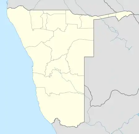 GOG Location of the airport in Namibia | |||||||||||||||
| Runways | |||||||||||||||
| |||||||||||||||
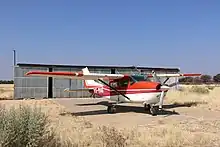
A Cessna 206 at Gobabis Airport
The length of runway 07/25 is 2,265 metres (7,431 ft) and runway 11/29 measures 1,605 metres (5,266 ft). Both are gravel runways. Customs and Immigration are available on request.
References
- Google Maps - Gobabis
- Airport information for Gobabis Airport at Great Circle Mapper.
External links
- OurAirport - Gobabis
- OpenStreetMap - Gobabis
- SkyVector - Gobabis Airport
- Accident history for GOG at Aviation Safety Network
- Current weather for FYGB at NOAA/NWS
This article is issued from Wikipedia. The text is licensed under Creative Commons - Attribution - Sharealike. Additional terms may apply for the media files.