Goldcreek, Montana
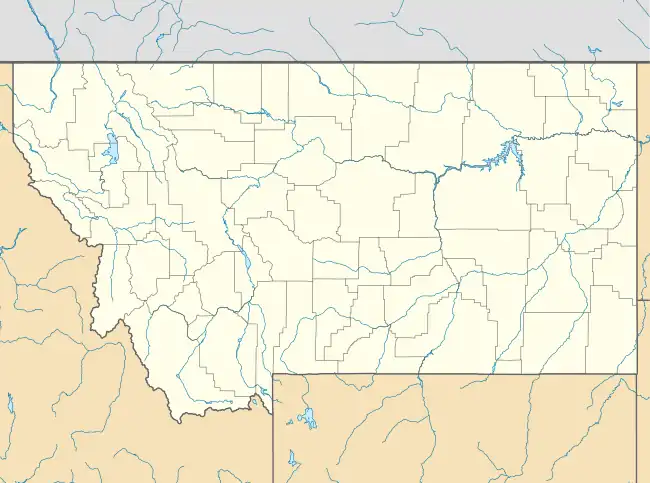
Goldcreek is an unincorporated community and census-designated place (CDP) in Powell County, Montana, United States. It is in the southwestern part of the county, 0.4 miles (0.6 km) south of Interstate 90's Exit 166. Via I-90, Garrison is 8 miles (13 km) to the southeast and Drummond is 12 miles (19 km) to the northwest.
Goldcreek, Montana | |
|---|---|
 Goldcreek  Goldcreek | |
| Coordinates: 46°35′5″N 112°55′41″W | |
| Country | United States |
| State | Montana |
| County | Powell |
| Area | |
| • Total | 0.20 sq mi (0.51 km2) |
| • Land | 0.20 sq mi (0.51 km2) |
| • Water | 0.00 sq mi (0.00 km2) |
| Elevation | 4,190 ft (1,280 m) |
| Population (2020) | |
| • Total | 9 |
| • Density | 46.15/sq mi (17.80/km2) |
| Time zone | UTC-7 (Mountain (MST)) |
| • Summer (DST) | UTC-6 (MDT) |
| ZIP Code | 59733 (Gold Creek) |
| Area code | 406 |
| FIPS code | 30-31825 |
| GNIS feature ID | 2806661[2] |
Goldcreek is in the valley of the Clark Fork River, about 1 mile (1.6 km) downstream (west) of the confluence of Gold Creek with the river.
The community was first listed as a CDP prior to the 2020 census.[2]
References
- "ArcGIS REST Services Directory". United States Census Bureau. Retrieved September 5, 2022.
- U.S. Geological Survey Geographic Names Information System: Goldcreek, Montana
- "Census of Population and Housing". Census.gov. Retrieved June 4, 2016.
Municipalities and communities of Powell County, Montana, United States | ||
|---|---|---|
| City | 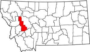 Powell County map | |
| CDPs | ||
| Other community | ||
This article is issued from Wikipedia. The text is licensed under Creative Commons - Attribution - Sharealike. Additional terms may apply for the media files.