Goudoumaria
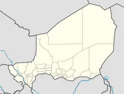
Goudoumaria, Niger (var. Goudomaria, Gudumaria) is a town in the southeast of the country, in Diffa Region, northwest of Diffa. Goudoumaria is an administrative post in the Maine-Soroa Department, and is approximately 50 km north of the Nigerian border and approximately 50 km east of the small city Soubdou.
Goudoumaria | |
|---|---|
 Goudoumaria | |
| Coordinates: 13°42′40″N 11°11′25″E | |
| Country | |
| Region | Diffa |
| Department | Maïné-Soroa |
| Elevation | 351 m (1,154 ft) |
| Time zone | UTC+1 (UTC+1) |
| • Summer (DST) | UTC+1 (UTC+1) |
| Area code | Miskindi |
Climate
Goudoumaria, historically an area of pastoralism and marginal farming, is in the Sahel region, bordering the Sahara. Desertification has led to a growth of Date palm farming in recent decades.
References
This article is issued from Wikipedia. The text is licensed under Creative Commons - Attribution - Sharealike. Additional terms may apply for the media files.