Graffham
Graffham is a village, Anglican parish and civil parish in West Sussex, England, situated on the northern escarpment of the South Downs within the South Downs National Park. The civil parish is made up of the village of Graffham, part of the hamlet of Selham, and South Ambersham. It forms part of the Bury Ward for the purposes of electing a Councillor to Chichester District Council.
| Graffham | |
|---|---|
 Parish church of St Giles, Graffham | |
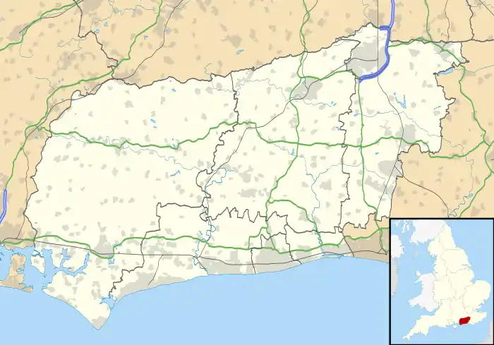
 Graffham Location within West Sussex | |
| Area | 11.81 km2 (4.56 sq mi) [1] |
| Population | 516. 2011 Census[2] |
| • Density | 43/km2 (110/sq mi) |
| OS grid reference | SU927175 |
| • London | 45 miles (72 km) NNE |
| Civil parish |
|
| District | |
| Shire county | |
| Region | |
| Country | England |
| Sovereign state | United Kingdom |
| Post town | PETWORTH |
| Postcode district | GU28 |
| Dialling code | 01798 |
| Police | Sussex |
| Fire | West Sussex |
| Ambulance | South East Coast |
| UK Parliament | |
| Website | Graffham Online |
History
Graffham was listed in the Domesday Book (1086) in the ancient hundred of Easebourne as having 13 households: seven villagers and six smallholders; with land for ploughing, woodland for pigs and a church, the parish's value to the lord of the manor was £8.[3]
In the 1861 census, the parish covered 1,658 acres (671 ha) and had a population of 410.[4] Selham was still a separate parish covering 1,042 acres (422 ha) with a population of 123.[5]
Demography
In the 2001 census, the parish covered 11.81 km2 (2,917 acres) and had 229 households with a total population of 510 of whom 229 residents were economically active. The population at the 2011 Census was 516.[2]
Amenities
The village of Graffham contains two pubs The Forester's Arms and The White Horse, a recreation ground, a village shop, the Anglican parish church of St Giles, which was largely rebuilt between 1874 and 1887, and a primary school. Seaford College, an independent school, is close by.
Notable people
Notable residents have included Jane Vigor, John Sargent, Harry Ricardo, David Young, Baron Young of Graffham, Ann Dally,[6] and Timothy Bell, Baron Bell.

References
- "2001 Census: West Sussex – Population by Parish" (PDF). West Sussex County Council. Archived from the original (PDF) on 8 June 2011. Retrieved 4 May 2009.
- "Civil Parish population 2011". Neighbourhood Statistics. Office for National Statistics. Retrieved 14 October 2015.
- "Open Domesday: Graffham". Retrieved 18 June 2019.
- "GENUKI: Graffham". Retrieved 18 June 2019.
- "GENUKI: Selham". Retrieved 18 June 2019.
- Crawford, Catherine. "Dally, Ann Gwendolen". Oxford Dictionary of National Biography (online ed.). Oxford University Press. doi:10.1093/ref:odnb/98642. (Subscription or UK public library membership required.)