Grass Valley, Nevada
Grass Valley is a census-designated place (CDP) in northeastern Pershing County, Nevada, United States. As of the 2010 census the population was 1,161.[2]
Grass Valley, Nevada | |
|---|---|
 Grass Valley | |
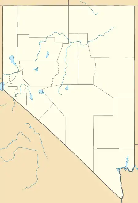
| Coordinates: 40°49′42″N 117°45′22″W | |
| Country | United States |
| State | Nevada |
| Area | |
| • Total | 34.51 sq mi (89.38 km2) |
| • Land | 34.51 sq mi (89.38 km2) |
| • Water | 0.00 sq mi (0.00 km2) |
| Elevation | 4,390 ft (1,338 m) |
| Population (2020) | |
| • Total | 991 |
| • Density | 28.72/sq mi (11.09/km2) |
| Time zone | UTC-8 (Pacific (PST)) |
| • Summer (DST) | UTC-7 (PDT) |
| Area code | 775 |
| FIPS code | 32-30220 |
Geography
Grass Valley is located 10 miles (16 km) south of Winnemucca. The CDP is named after the valley in which it lies, a 5-mile-wide (8 km) basin between the Sonoma Range to the east and the East Range to the west. Nevada State Route 294 (Grass Valley Road) runs from Grass Valley into Winnemucca.
According to the U.S. Census Bureau, the Grass Valley CDP has an area of 34.5 square miles (89.4 km2), all land.[2]
References
- "ArcGIS REST Services Directory". United States Census Bureau. Retrieved September 19, 2022.
- "Geographic Identifiers: 2010 Demographic Profile Data (G001): Grass Valley CDP, Nevada". U.S. Census Bureau, American Factfinder. Archived from the original on February 12, 2020. Retrieved January 28, 2013.
- "Census of Population and Housing". Census.gov. Retrieved June 4, 2016.
Municipalities and communities of Pershing County, Nevada, United States | ||
|---|---|---|
| City |  Pershing County map | |
| CDPs | ||
| Other communities | ||
| Ghost towns | ||
This article is issued from Wikipedia. The text is licensed under Creative Commons - Attribution - Sharealike. Additional terms may apply for the media files.