Grauhorn
The Grauhorn is a mountain of the Lepontine Alps, located on the border between the Swiss cantons of Ticino and Graubünden. It lies north of the Rheinwaldhorn, on the range between the Val Carassino and the Länta valley.
| Grauhorn | |
|---|---|
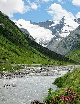 The Rheinwaldhorn (left) and the Gruhorn (right) from the Länta valley | |
| Highest point | |
| Elevation | 3,260 m (10,700 ft) |
| Prominence | 105 m (344 ft)[1] |
| Parent peak | Rheinwaldhorn |
| Coordinates | 46°30′18″N 9°01′41″E |
| Geography | |
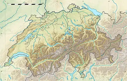 Grauhorn Location in Switzerland | |
| Location | Ticino/Graubünden, Switzerland |
| Parent range | Lepontine Alps |
On the north side of the mountain is a glacier named Grauhorngletscher.
References
- Retrieved from the Swisstopo topographic maps and Google Earth. The key col is located south of the summit at 3,155 metres.
This article is issued from Wikipedia. The text is licensed under Creative Commons - Attribution - Sharealike. Additional terms may apply for the media files.