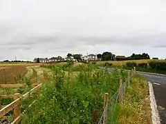
Great Hatfield
Great Hatfield is a village in the East Riding of Yorkshire, England in an area known as Holderness. It is situated approximately 3.5 miles (5.6 km) south-west of Hornsea town centre, and less than one mile (1.6 km) east of Little Hatfield.
| Great Hatfield | |
|---|---|
 Great Hatfield | |
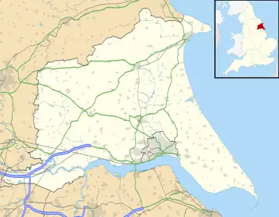 Great Hatfield Location within the East Riding of Yorkshire | |
| OS grid reference | TA187428 |
| • London | 160 mi (260 km) S |
| Civil parish | |
| Unitary authority | |
| Ceremonial county | |
| Region | |
| Country | England |
| Sovereign state | United Kingdom |
| Post town | HULL |
| Postcode district | HU11 |
| Dialling code | 01964 |
| Police | Humberside |
| Fire | Humberside |
| Ambulance | Yorkshire |
| UK Parliament | |
The village was a civil parish until 1935, when it was merged with Goxhill and Little Hatfield to form the parish of Hatfield.[1]
In 1823 Great hatfield was in the civil parish of Mappleton and Sigglesthorne, and in the Wapentake and Liberty of Holderness. An "ancient stone cross of exquisite workmanship" was recorded at the village centre. There was a burial place but no place of worship. A previous chapel had burnt down a hundred years previously, although a stone, with the inscription "Here lieth the body of Expopher Constable, A.D. 642", marked its location. Population at the time was 127, with occupations including ten farmers, a grocer, a tailor, and a shoemaker. A carrier operated between the village and Hull once a week.[2]
Great Hatfield was served from 1864 to 1964 by Sigglesthorne railway station on the Hull and Hornsea Railway.[3] Landmarks include St Helen's Well, the Wrygarth Inn pub, and nearby 'Hatfield Paddock' football pitch adjacent to Densholme farm.
References
- "Great Hatfield Tn/CP Yorkshire through time – Administrative history of Parish-level unit: hierarchies, boundaries". A Vision of Britain through Time. University of Portsmouth & others. 2008. Retrieved 12 February 2018.
- Baines, Edward (1823): History, Directory and Gazetteer of the County of York, p. 213
- Butt, R. V. J. (October 1995). The Directory of Railway Stations: details every public and private passenger station, halt, platform and stopping place, past and present (1st ed.). Sparkford: Patrick Stephens Ltd. ISBN 978-1-85260-508-7. OCLC 60251199. OL 11956311M.
- Gazetteer – A–Z of Towns Villages and Hamlets. East Riding of Yorkshire Council. 2006. p. 6.
External links
 Media related to Great Hatfield at Wikimedia Commons
- Great Hatfield in the Domesday Book
| Unitary authorities | |
|---|---|
| Major settlements (cities in italics) | |
| Rivers | |
| Canals | |
| Topics | |