Borough of Great Yarmouth
The Borough of Great Yarmouth is a local government district with borough status in Norfolk, England. It is named after its main town, Great Yarmouth.
Great Yarmouth | |
|---|---|
| Borough of Great Yarmouth | |
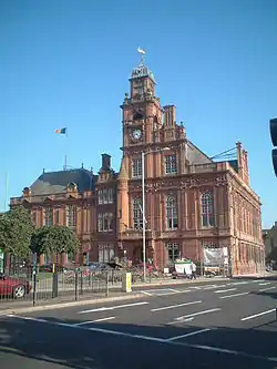 Great Yarmouth Town Hall | |
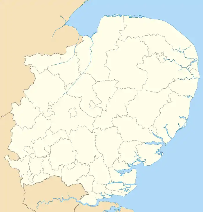
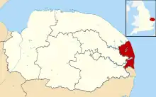 Great Yarmouth shown within Norfolk | |
| Sovereign state | United Kingdom |
| Constituent country | England |
| Region | East of England |
| Non-metropolitan county | Norfolk |
| Status | Non-metropolitan district |
| Admin HQ | Great Yarmouth |
| Incorporated | 1 April 1974 |
| Government | |
| • Type | Non-metropolitan district council |
| • Body | Great Yarmouth Borough Council |
| • Leadership | Committees[1] (Conservative) |
| • MPs | Brandon Lewis |
| Area | |
| • Total | 67.2 sq mi (174.0 km2) |
| • Rank | 154th (of 296) |
| Population (2021) | |
| • Total | 100,146 |
| • Rank | 242nd (of 296) |
| • Density | 1,500/sq mi (580/km2) |
| • Ethnicity | 98.6% White |
| Time zone | UTC0 (GMT) |
| • Summer (DST) | UTC+1 (BST) |
| OS grid reference | TG5271507684 |
| Website | www |

History
The borough was formed on 1 April 1974, under the Local Government Act 1972, as a merger of the former county borough of Great Yarmouth, along with part of Blofield and Flegg Rural District, and also part of the Lothingland Rural District in East Suffolk.

The amendment to include five parishes from Lothingland RD in Norfolk was made by Anthony Fell, MP for Yarmouth, at committee stage.[2]
In the 2016 Referendum on the issue, 71.5% of Great Yarmouth voted to leave the European Union, the 5th highest such leave vote in the country.
Politics
Elections to the borough council are held in three out of every four years, with one third of the currently 39 seats on the council being elected at each election.
- Historic overall control of council by party group
- Conservative: 1973 to 1980, 1983 to 1986, 2000 to 2012, 2016 to 2023
- Labour: 1990 to 2000, 2012 to 2013
- No overall control by one group of councillors in other years
As of the 2023 local elections, the makeup of the council is as follows:
| Party | Councillors | |
| Labour Party | 18 | |
| Conservative Party | 19 | |
| Independent | 2 | |
- UK Youth Parliament
Although the UK Youth Parliament is an apolitical organisation, the elections are run in a way similar to that of the Local Elections. The votes come from 11 to 18-year olds and are combined to make the decision of the next, 2-year Member of Youth Parliament. The elections are run at different times across the country with Great Yarmouth's typically being in early Spring and bi-annually.
The current Member of Youth Parliament for Great Yarmouth is Cameron Hodds MYP.[3][4][5]
.jpg.webp)
Composition
The borough comprises the urban area of Great Yarmouth itself, together with 21 surrounding parishes. At the time of the 2001 census, the borough had an area of 182 km², of which 26 km² was in the urban area and 156 km² in the surrounding parishes. The borough had a population of 90,810 in 39,380 households, with 47,288 people in 21,007 households living in the urban area, whilst 43,522 people in 18,373 households lived in the surrounding parishes.[6]
Places
Besides Great Yarmouth itself, other significant settlements in the borough include:
- Bastwick, Belton, Bradwell, Browston Green, Burgh Castle, Burgh St Margaret
- Caister-on-Sea, California
- East Somerton
- Filby, Fleggburgh, Fritton
- Gorleston-on-Sea
- Hemsby, Hopton-on-Sea
- Martham, Mautby
- Runham
- Ormesby St. Margaret, Ormesby St. Michael
- Repps, Rollesby
- St. Olaves, Scratby, Stokesby
- Thrigby
- West Somerton, Winterton-on-Sea
- Cobholm Island

Parishes
The urban area of Great Yarmouth itself is unparished. The remainder of the district comprises the following civil parishes:
- Ashby with Oby
- Belton with Browston †, Bradwell †, Burgh Castle †
- Caister-on-Sea
- Filby, Fleggburgh with Billockby & Clippesby, Fritton and St. Olaves †
- Hemsby, Hopton-on-Sea †
- Martham, Mautby
- Ormesby St. Margaret with Scratby, Ormesby St. Michael
- Repps with Bastwick, Rollesby
- Somerton, Stokesby with Herringby
- Thurne
- West Caister, Winterton-on-Sea
† formerly part of Lothingland Rural District
Freedom of the Borough
The following people and military units have received the Freedom of the Borough of Great Yarmouth.
Individuals
- Admiral Horatio Nelson, 1st Viscount Nelson: 1800.
- Cora Batley: 1997.
- [Michael Thomas Jeal: 14 April 2022.
Military Units
- The 1st East Anglian Regiment: 1963.
- The Royal Anglian Regiment: 1964.
- HMS Yarmouth, RN: 1984.
- The Great Yarmouth and Gorleston Lifeboat Station, RNLI: 1984.
- The Caister Volunteer Lifeboat Service: 1984.
- 901 Troop Royal Marines Cadets: 28 September 2012.[10]
- The Royal British Legion (Great Yarmouth Branch): 2 November 2012.[11]
- HMS Dauntless, RN: 11 June 2013.[12]
See also
References
- "Full Council Minutes Tuesday, 24 November 2015". Great Yarmouth Borough Council. Item 6.
- Hansard, 6 July 1972, column 1107
- "Members of Youth Parliament - Norfolk County Council". www.norfolk.gov.uk.
- "Your Norfolk -". yournorfolk.norfolkpublications.org.uk.
- Cope, Lauren (30 March 2018). "Norfolk's four new Members of Youth Parliament are announced". Eastern Daily Press.
- Office for National Statistics & Norfolk County Council (2001). Census population and household counts for unparished urban areas and all parishes. Retrieved 2 December 2005.
- Weeds, James (10 April 2022). "Three-term mayor to be granted prestigious Honorary Freedom of the Borough". The Great Yarmouth Mercury. Retrieved 11 April 2022.
- Carroll, Anthony (15 April 2022). "Long-serving councillor granted freedom of the borough". The Great Yarmouth Mercury. Retrieved 16 April 2022.
- "Honorary Freedom of the Borough granted to local tourism stalwart and Great Yarmouth's twin town". 11 December 2019.
- Russell, Sam (28 September 2012). "Two groups honoured with freedom of Great Yarmouth borough". Eastern Daily Press.
- "Honorary Freedom of the Borough Ceremony. Pictures by James Bass". Great Yarmouth Mercury.
- Rogers, Lauren (10 June 2013). "Plans to give HMS Dauntless the Freedom of the Borough of Great Yarmouth".
| Boroughs or districts | |
|---|---|
| Major settlements (cities in italics) |
|
| Topics | |