Departments of Guatemala
The Republic of Guatemala is divided into 22 departments (Spanish: departamentos)[1] which in turn are divided into 340 municipalities.[2][3] The departments are governed by a departmental governor, appointed by the President.
.svg.png.webp)
A map of Guatemala showing its 22 departments.
In addition, Guatemala has claimed that all or part of the nation of Belize is a department of Guatemala, and this claim is sometimes reflected in maps of the region. Guatemala formally recognized Belize in 1991, but the border disputes between the two nations have not been resolved.[4][5]
Departmentos
| Flag | Coat of Arms |
Department | Map # | ISO 3166-2:GT[6] | Capital | Area (km2) | Population (2018 Census)[7] |
Municipalities | Location |
|---|---|---|---|---|---|---|---|---|---|
 |
Alta Verapaz | 1 | GT-AV | Cobán | 8,686 | 1,215,038 | 17 | 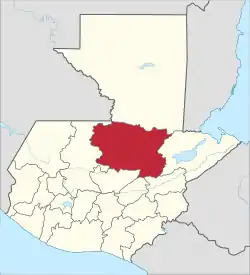 | |
| Baja Verapaz | 2 | GT-BV | Salamá | 3,124 | 299,476 | 8 | 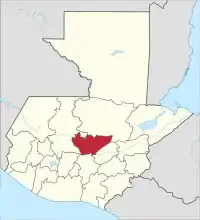 | ||
|
|
 |
Chimaltenango | 3 | GT-CM | Chimaltenango | 1,979 | 615,776 | 16 |  |
 |
Chiquimula | 4 | GT-CQ | Chiquimula | 2,376 | 415,063 | 11 | 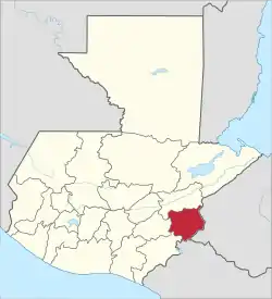 | |
 |
El Progreso | 6 | GT-PR | Guastatoya | 1,922 | 176,632 | 8 | 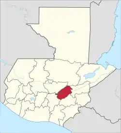 | |
 |
Escuintla | 8 | GT-ES | Escuintla | 4,384 | 733,181 | 13 | 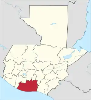 | |
 |
Guatemala Department | 9 | GT-GU | Guatemala City | 2,126 | 3,015,081 | 17 | 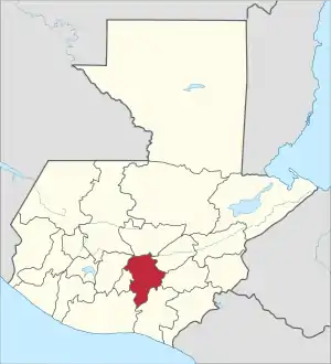 | |
|
|
 |
Huehuetenango | 10 | GT-HU | Huehuetenango | 7,403 | 1,170,669 | 31 |  |
 |
Izabal | 11 | GT-IZ | Puerto Barrios | 9,038 | 408,688 | 5 | 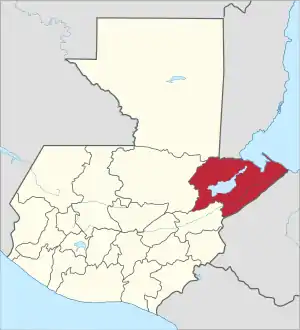 | |
 |
Jalapa | 12 | GT-JA | Jalapa | 2,063 | 342,923 | 7 | 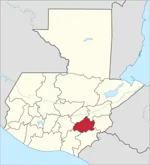 | |
 |
Jutiapa | 13 | GT-JU | Jutiapa | 3,219 | 488,395 | 17 | 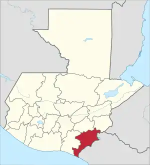 | |
 |
Petén | 5 | GT-PE | Flores | 35,854 | 545,600 | 12 | 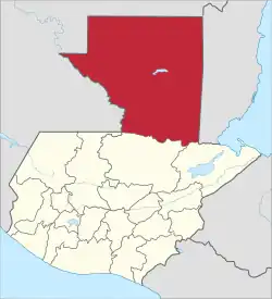 | |
 |
Quetzaltenango | 14 | GT-QZ | Quetzaltenango | 1,951 | 799,101 | 24 | 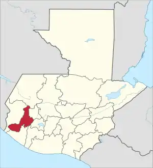 | |
 |
Quiché | 7 | GT-QC | Santa Cruz del Quiché | 8,378 | 949,261 | 21 | 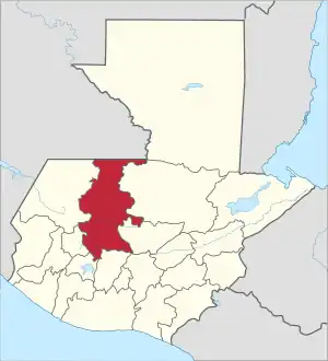 | |
| Retalhuleu | 15 | GT-RE | Retalhuleu | 1,856 | 326,828 | 9 | 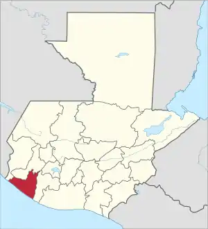 | ||
 |
Sacatepéquez | 16 | GT-SA | Antigua Guatemala | 465 | 330,469 | 16 | 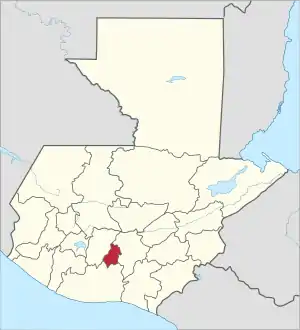 | |
 |
San Marcos | 17 | GT-SM | San Marcos | 2,397 | 1,032,277 | 29 | 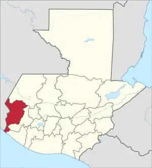 | |
 |
Santa Rosa | 18 | GT-SR | Cuilapa | 2,295 | 396,607 | 14 |  | |
 |
Sololá | 19 | GT-SO | Sololá | 1,061 | 421,583 | 19 | 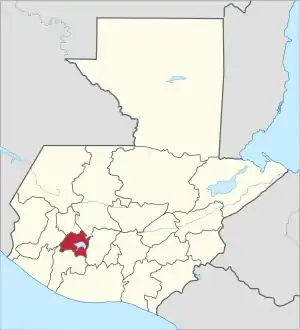 | |
 |
Suchitepéquez | 20 | GT-SU | Mazatenango | 2,510 | 554,695 | 20 | 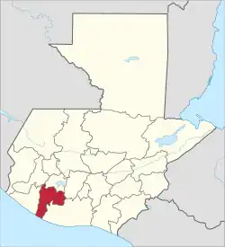 | |
 |
Totonicapán | 21 | GT-TO | Totonicapán | 1,061 | 418,569 | 8 | 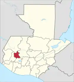 | |
 |
Zacapa | 22 | GT-ZA | Zacapa | 2,690 | 245,374 | 10 | 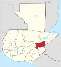 |
See also
References
- "Republica de Guatemala Departamentos de Guatemala". Servicio de Información Municipal de Inforpress. Archived from the original on 2009-04-16.
- "Country Report: Guatemala". Pan American Health Organization. Retrieved November 24, 2017.
- Coloma, Andrea (November 15, 2015). "Petatán ya es el municipio número 340 de Guatemala" (in Spanish). Guatemala.com. Retrieved November 24, 2017.
- Jorge I. Domínguez; David Mares; Manuel Orozco; David Scott Palmer; Francisco Rojas Aravena; Andrés Serbin (August 2003). "Boundary Disputes in Latin America (summary)". Peaceworks No. 50. United States Institute of Peace. Retrieved June 3, 2013.
- Jorge I. Domínguez; David Mares; Manuel Orozco; David Scott Palmer; Francisco Rojas Aravena; Andrés Serbin (August 2003). "Boundary Disputes in Latin America (full text)" (PDF). Peaceworks No. 50. United States Institute of Peace. Retrieved June 3, 2013.
- ISO 3166-2:GT (ISO 3166-2 codes for the departments of Guatemala)
- "Resultados Censo 2018" (PDF). Instituto Nacional de Estadistica Guatemala. Retrieved 9 May 2020.
External resources
This article is issued from Wikipedia. The text is licensed under Creative Commons - Attribution - Sharealike. Additional terms may apply for the media files.
.svg.png.webp)