Hadubangi
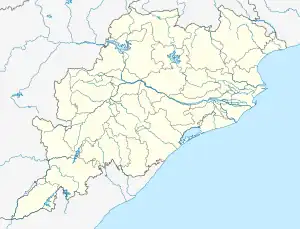
Hadubangi, also romanized as Hadobhangi or Haddubangi, is a village in Kashinagara Tehsil, Gajapati District, Odisha, India. It is located near the Odia-Andhra Pradesh border, about 13 kilometres west of the district capital Paralakhemundi, and 11 kilometres southeast of the tehsil capital Kashinagara. As of the year 2011, It has a total population of 1,124.[1]
Hadubhangi
Hadobhangi Haddubhangi | |
|---|---|
Village | |
 Hadubhangi  Hadubhangi | |
| Coordinates: 18°49′51″N 83°58′44″E | |
| Country | |
| State | Odisha |
| District | Gajapati |
| Tehsil | Kashinagara |
| Government | |
| • Type | Gram panchayat |
| Area | |
| • Total | 3.34 km2 (1.29 sq mi) |
| Elevation | 58 m (190 ft) |
| Population (2011) | |
| • Total | 1,124 |
| • Density | 340/km2 (870/sq mi) |
| Languages | |
| • Official | Odia |
| Time zone | UTC+5:30 (IST) |
| PIN | 761208 |
| STD code | 06857 |
| Vehicle registration | OD-20 |
Geography
Hadubhangi is located to the north of Vamsadhara River. Its average elevation is 58 metres above the sea level.[2]
Demographics
According to the 2011 Census of India, there are 291 households within Hadubhangi. Among the 1,124 residents, 586 are male and 538 are female. The total literacy rate is 56.85%, with 395 of the male population and 244 of the female population being literate. Its census location code is 414556.[1]
References
- "Basic Population Figures of India, States, Districts, Sub-District and Village, 2011". censusindia.gov.in. Archived from the original on 2 March 2023. Retrieved 6 June 2023.
- "Hadobhangi topographic map, elevation, terrain". Topographic maps. Retrieved 6 June 2023.