Haverly Peak
Haverly Peak (65°6′S 63°33′W) is a peak rising to 960 metres (3,150 ft), 1 nautical mile (2 km) east of the head of Azure Cove, Flandres Bay, on the northeast coast of Kyiv Peninsula, Graham Land, Antarctica. In association with the names of cartographers grouped near this area, it was named by the UK Antarctic Place-Names Committee (UK-APC) in 1986 after William R. Haverly of the Cartographic Section at the Foreign and Commonwealth Office from 1970, and its Head from 1986, with responsibility for preparing UK-APC maps.[1]
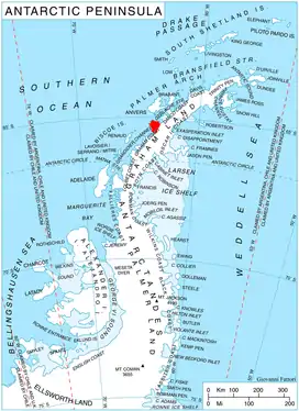
Location of Kyiv Peninsula in Graham Land, Antarctic Peninsula.
References
![]() This article incorporates public domain material from "Haverly Peak". Geographic Names Information System. United States Geological Survey.
This article incorporates public domain material from "Haverly Peak". Geographic Names Information System. United States Geological Survey.
This article is issued from Wikipedia. The text is licensed under Creative Commons - Attribution - Sharealike. Additional terms may apply for the media files.