Hemrin Dam
The Hemrin Dam is a dam on the Diyala River 100 km northeast of Baghdad, Iraq. The main purpose of the dam is flood control, irrigation and hydroelectric generation. Its power station has a 50 MW capacity. The dam and the attached power house were built in years 1976-1981 by the then Yugoslav company GIK Hidrogradnja (of Sarajevo, now Bosnia-Herzegovina). All the equipment (gates, turbines, generators) were also supplied by the then-Yugoslav companies.[1]
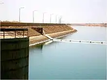
 Upstream side of the dam | |
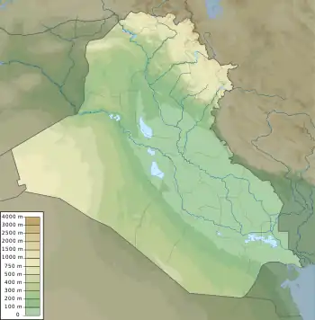
 Location of in Iraq | |
| Official name | Hemrin Dam |
|---|---|
| Country | Iraq |
| Location | 100 km northeast of Baghdad, Iraq, Diyala Governorate, Iraq |
| Coordinates | 34°06′52″N 44°58′04″E |
| Status | Operational |
| Construction began | 1976 |
| Opening date | 1981 |
| Owner(s) | Ministry of Water Resources |
| Dam and spillways | |
| Impounds | Diyala River |
| Height | 53 m (174 ft) |
| Length | 3,360 m (11,020 ft) |
| Reservoir | |
| Creates | Hemrin Reservoir |
| Total capacity | 2,040,000,000 m3 (1,650,000 acre⋅ft) |
| Power Station | |
| Commission date | 1981 |
| Installed capacity | 50 MW |
A large archaeological salvage operation was undertaken to excavate archaeological sites that were at risk of flooding once the reservoir (now Hamrin Lake) would start to fill. Sites that were excavated as part of this operation included Tell Madhur, Tell Rashid, Tell Saadiya and Tell Abada.[2]
References
- "Energy and Hydroelectric Power". Iraq Ministry of Water Resources. Archived from the original on 25 March 2012. Retrieved 12 June 2011.
- Jasim, Sabah Abboud (1983). "Notes on the excavation at Tell Rashid, Iraq". Paléorient. 9 (1): 99–103. doi:10.3406/paleo.1983.4336.