Hockerville, Oklahoma
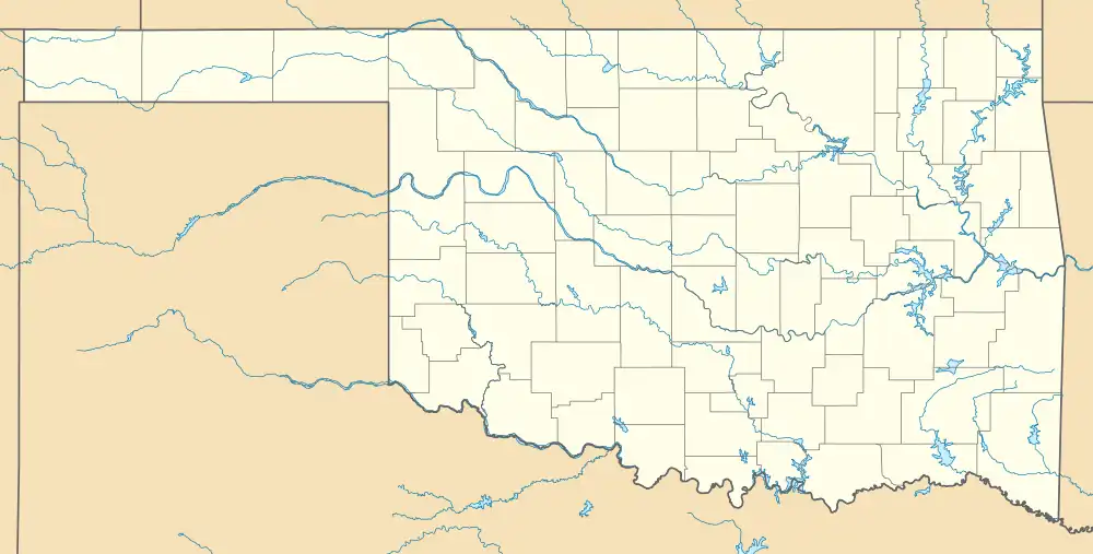
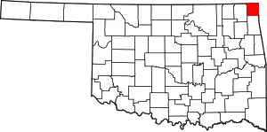
Hockerville is a ghost town in northern Ottawa County, Oklahoma, United States.[1] The community was located just south of the Kansas-Oklahoma border between Picher to the west and Baxter Springs, Kansas, to the northeast.[2]
Hockerville, Oklahoma | |
|---|---|
.jpg.webp) Hockerville, 1918 | |
 Hockerville, Oklahoma  Hockerville, Oklahoma | |
| Coordinates: 36°59′38″N 94°46′52″W | |
| Country | United States |
| State | Oklahoma |
| County | Ottawa |
| Elevation | 853 ft (260 m) |
| Time zone | UTC-6 (Central (CST)) |
| • Summer (DST) | UTC-5 (CDT) |
| GNIS feature ID | 1093811[1] |
History
The settlement was named for Leslie C. Hocker, an early resident.[3] A post office operated from 1918 to 1963.[3] The area was mined for zinc ore and lead from the early 1900s to the late 1970s, leaving in a 40-square-mile (100 km2) area—which includes Hockerville—contaminated by toxins, and part of the Tar Creek Superfund Site.[4]
Education
Picher-Cardin Public Schools, which was the local school district, closed in 2009.[5] The area was placed into Quapaw Public Schools.[6][7]
References
- U.S. Geological Survey Geographic Names Information System: Hockerville, Oklahoma
- Oklahoma Atlas & Gazetteer, DeLorme, 1st ed., 1998, p. 27 ISBN 0899332838
- Shirk, George H.; Wright, Muriel H. (1974). Oklahoma Place Names. University of Oklahoma Press. p. 117.
- "Tar Creek Superfund Site - Ottawa County, OK". Agency for Toxic Substances and Disease Registry. September 21, 2015.
- Gillham, Omer; Stogsdill, Sheila (May 17, 2009). "Picher school says farewell to last 11". The Oklahoman. Retrieved March 29, 2021.
- "SCHOOL DISTRICT REFERENCE MAP (2010 CENSUS): Ottawa County, OK" (PDF). U.S. Census Bureau. Retrieved March 29, 2021. - Compare to the highway map.
- "Ottawa County" (PDF). Oklahoma Department of Transportation. Retrieved March 29, 2021.
This article is issued from Wikipedia. The text is licensed under Creative Commons - Attribution - Sharealike. Additional terms may apply for the media files.
