Homestead, Oklahoma
Homestead is a small unincorporated community in northern Blaine County, Oklahoma, United States. The town was platted along the Choctaw Northern Railroad (later the Rock Island) before statehood.[3][4] The Homestead Post Office opened January 26, 1893.[5] Homestead had a population of 150 residents in 1905, according to the Oklahoma Territorial Census. The town lost rail service around 1926.[3][4]
Homestead, Oklahoma | |
|---|---|
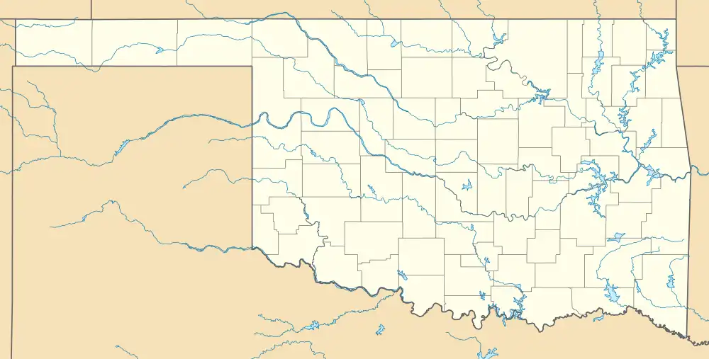 Location of Homestead in Oklahoma  Homestead, Oklahoma (the United States) | |
| Coordinates: 36°09′00″N 98°23′49″W | |
| Country | United States |
| State | Oklahoma |
| County | Blaine |
| Area | |
| • Total | 0.76 sq mi (1.96 km2) |
| • Land | 0.76 sq mi (1.96 km2) |
| • Water | 0.00 sq mi (0.00 km2) |
| Elevation | 1,257 ft (383 m) |
| Population (2020) | |
| • Total | 41 |
| • Density | 54.16/sq mi (20.90/km2) |
| Time zone | UTC-6 (Central (CST)) |
| • Summer (DST) | UTC-5 (CDT) |
| Area code | 580 |
| FIPS code | 40-35800 |
| GNIS feature ID | 2805324[2] |
References
- "ArcGIS REST Services Directory". United States Census Bureau. Retrieved September 20, 2022.
- U.S. Geological Survey Geographic Names Information System: Homestead, Oklahoma
- "Choctaw Northern Railroad Company". Railroads of Oklahoma, June 6, 1870-April 1, 1978 (accessed on Oklahoma Digital Prairie), pp. 42-44. Retrieved March 11, 2023.
- "Choctaw, Oklahoma & Gulf Railroad Company, p.14" (PDF). OKNG.ORG. Retrieved March 11, 2023.
- Shirk, George H. Oklahoma Place Names, Norman, Oklahoma: University of Oklahoma Press, 1965, p.105.
- "Census of Population and Housing". Census.gov. Retrieved June 4, 2016.
Municipalities and communities of Blaine County, Oklahoma, United States | ||
|---|---|---|
| Cities | 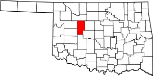 Blaine County map | |
| Towns | ||
| CDPs | ||
| Other community | ||
| Ghost towns | ||
| Footnotes | ‡This populated place also has portions in an adjacent county or counties | |
This article is issued from Wikipedia. The text is licensed under Creative Commons - Attribution - Sharealike. Additional terms may apply for the media files.