Hranitne, Volnovakha Raion
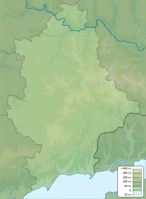
Hranitne (Ukrainian: Гранітне; Russian: Гранитное; Greek: Γράνιτνα) is a village in Volnovakha Raion (district) in the Donetsk Oblast of eastern Ukraine. The village is situated on the right (west) bank of the Kalmius river. The much smaller village of Staromarivka is just to the south, but on the other side of the river. There is a granite quarry just west of Hranitne.
Hranitne
Гранітне | |
|---|---|
 Seal | |
 Hranitne Location of Hranitne within Ukraine  Hranitne Hranitne (Ukraine) | |
| Coordinates: 47°27′13″N 37°52′3″E | |
| Country | |
| Province | Donetsk Oblast |
| District | Volnovakha Raion |
| Hromada | Myrne settlement hromada |
| Founded | 1780 |
| Elevation | 48 m (157 ft) |
| Population | |
| • Total | 3,615 |
| Time zone | UTC+2 (EET) |
| • Summer (DST) | UTC+3 (EEST) |
| Postal code | 87123 |
| Area code | +380 6279 |
The Kalmius became the boundary between Donetsk People's Republic-controlled territory on the east bank of the river, and Ukrainian government-controlled territory on the west bank, after an offensive by the pro-Russian forces of the Donetsk People's Republic in August 2014 during the War in Donbass.[2]
The war has caused civilian and military casualties.[3][4][5][6] On 26 February 2016 the spokesman of the Presidential Administration on issues related to ATO reported that a Ukrainian serviceman was killed in the village the previous day.[7]
Demographics
The population consists mainly of Urums (Turkic-speaking Greeks), who migrated there from the Crimean peninsula in the end of the 18th century.
| 1859 | 1908 | 1935 | 2001 |
|---|---|---|---|
| 2,425 | 3,270 | 2,281 | 3,576 |
References
- weather.in.ua
- Kramer, Andrew E. (4 June 2014). "Hardening of Positions Undercuts Ukraine Peace Accord". New York Times. Retrieved 15 February 2016.
- "Боевики обстреляли Гранитное: погиб двухлетний ребенок" (in Russian). UNIAN. 14 January 2015. Retrieved 26 February 2016.
- "Полк "Азов" сообщает о бое у Гранитного - один боец погиб, шестеро ранены" (in Russian). Information Resistance. 28 January 2015. Retrieved 26 February 2016.
- "В ходе боя под Гранитным погибли двое бойцов "Азова", еще шестеро ранены – заявляют в полку". interfax.com.ua (in Russian). Interfax-Ukraine. 28 January 2015. Retrieved 26 February 2016.
- "Бой в Гранитном длился четыре часа" (in Russian). Information Resistance. 14 March 2015. Retrieved 26 February 2016.
- "На Донетчине погиб военный, эпицентром боев остается Марьинка" (in Russian). Liga News. 26 February 2016. Retrieved 26 February 2016.