Hrušovany, Topoľčany District
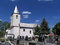
Hrušovany (Hungarian: Nyitrakörtvélyes) is a municipality in the Topoľčany District of the Nitra Region, Slovakia.[1] In 2011 it had 1116 inhabitants.[2] The village itself possess a good infrastructure, including kindergarten, basic school, gas distribution network, outdoor and indoor sport fields. The most important sightseeings are Church from the 17th century and Bell Tower.
Hrušovany | |
|---|---|
Town | |
 St. Martin's Church | |
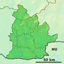
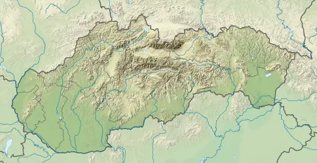
 Hrušovany Location in Slovakia  Hrušovany Hrušovany (Slovakia) | |
| Coordinates: 48°26′11″N 18°5′38″E | |
| Country | |
| Region | Nitra |
| District | Topoľčany |
| First mentioned | 1318 |
| Government | |
| • Mayor | Jozef Benca (SMER-SD) |
| Area | |
| • Total | 5.54 km2 (2.14 sq mi) |
| Population (31 December 2022) | |
| • Total | 1,082 |
| • Density | 200/km2 (510/sq mi) |
| Time zone | UTC+1 (CET) |
| • Summer (DST) | UTC+2 (CEST) |
| Postal code | 956 13 |
| Area code | +421 38 |
| Car plate | TO |
| Website | www |
References
- "Hrušovany - Okres Topoľčany - E-OBCE.sk".
- "Archived copy" (PDF). Archived from the original (PDF) on 2013-10-12. Retrieved 2012-08-09.
{{cite web}}: CS1 maint: archived copy as title (link)
Genealogical resources
The records for genealogical research are available at the state archive "Statny Archiv in Nitra, Slovakia"
- Roman Catholic church records (births/marriages/deaths): 1696-1896 (parish B)
External links
 Media related to Hrušovany (Topoľčany District) at Wikimedia Commons
- Official website

- http://en.e-obce.sk/obec/hrusovany/hrusovany.html
- Surnames of living people in Hrusovany
This article is issued from Wikipedia. The text is licensed under Creative Commons - Attribution - Sharealike. Additional terms may apply for the media files.