Huirangi
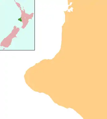
Huirangi is a settlement in Taranaki, New Zealand. Waitara lies about 7 kilometres to the north. The Waitara River flows to the east of the settlement, with the Bertrand Road suspension bridge providing access to the other side.[1][2]
Huirangi | |
|---|---|
 Huirangi | |
| Coordinates: 39°3′13″S 174°14′56″E | |
| Country | New Zealand |
| Region | Taranaki |
| District | New Plymouth District |
Education
Huirangi School is a coeducational contributing primary (years 1–6) school with a decile rating of 2 and a roll of 62.[3] The school and district celebrated their centennial jubilee in 1972.[4]
Notable residents
- Elsie Andrews (1888–1948), teacher and community leader
Notes
- Peter Dowling, ed. (2004). Reed New Zealand Atlas. Reed Books. pp. map 34. ISBN 0-7900-0952-8.
- Roger Smith, GeographX (2005). The Geographic Atlas of New Zealand. Robbie Burton. pp. map 85. ISBN 1-877333-20-4.
- "Te Kete Ipurangi – Huirangi School". Ministry of Education. Archived from the original on 9 July 2002.
- Wilson, Peter Thomas (1972). A history of the School and district of Huirangi : written for the Centennial Jubilee 13–14 May, 1972. OCLC 3053318.
This article is issued from Wikipedia. The text is licensed under Creative Commons - Attribution - Sharealike. Additional terms may apply for the media files.