Humevale, Victoria
Humevale is a rural locality in Victoria, Australia, 39 km (24 mi) north-east of Melbourne's Central Business District, located within the City of Whittlesea local government area. Humevale recorded a population of 352 at the 2021 census.[2]
| Humevale Victoria | |
|---|---|
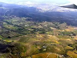
 Aerial view of Humevale from the north-west | |
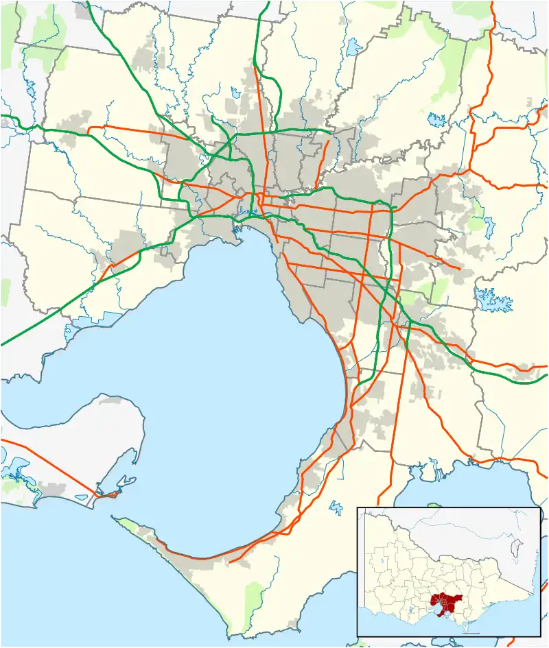
 Humevale Location in metropolitan Melbourne | |
| Coordinates | 37.497°S 145.175°E |
| Population | 352 (SAL 2021)[1] |
| Established | 1920s |
| Postcode(s) | 3757 |
| Location |
|
| LGA(s) | City of Whittlesea |
| State electorate(s) | |
| Federal division(s) | McEwen |
History
Located between Whittlesea and Kinglake West, Humevale was originally named Scrubby Creek, after a nearby watercourse.[3][4] It was renamed Humevale in the 1920s by second-generation settlers, and was named after explorer Hamilton Hume, who explored nearby Mount Disappointment in 1824.[3]
The area was originally worked by paling splitters and tenant farmers, who worked in the nearby Mount Disappointment range.[3][4] In 1894, the area was subdivided into small farms and a village settlement, as part of a government closer settlement scheme.[4] A number of orchards existed in the area until the 1930s, when they were replaced by livestock grazing.[3][4]
The Post Office opened around 1902 as Scrubby Creek, was renamed Humevale in 1927, and closed in 1959.[5] A school existed in the area from 1898 until 1968.[3][4]
Transport
Bus
One bus route service Humevale:
- 384 : Kinglake – Whittlesea via Humevale. Operated by Dysons.[6]
References
- Australian Bureau of Statistics (28 June 2022). "Humevale (Suburb and Locality)". Australian Census 2021 QuickStats. Retrieved 28 June 2022.
- Victorian Places, Kinglake District, retrieved 3 September 2022
- City of Whittlesea, Place Snapshot: Humevale, retrieved 3 September 2022
- Premier Postal History, Post Office List, retrieved 11 April 2008
- "384 Kinglake - Whittlesea via Humevale". Public Transport Victoria.