Humps Island
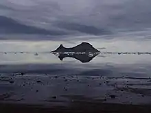
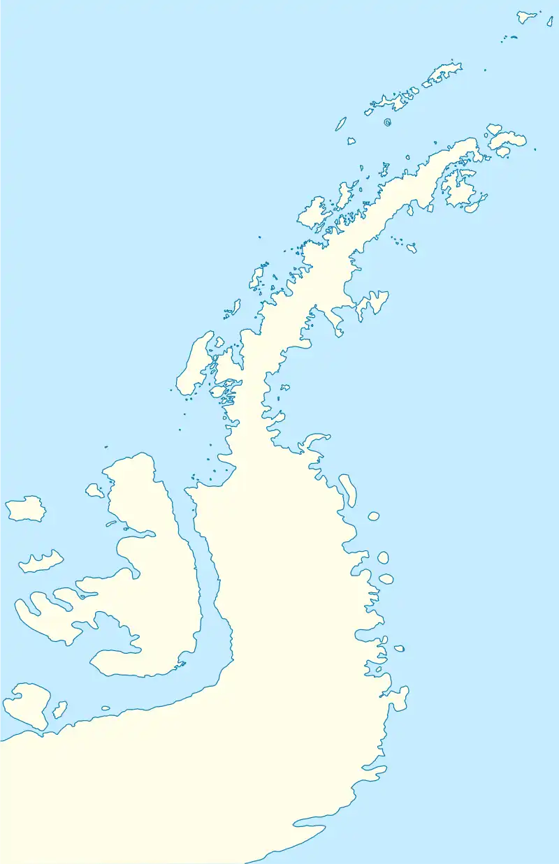
Humps Island is an island 0.5 nautical miles (1 km) long with two summits near the western end, situated 4 nautical miles (7 km) south-southeast of the tip of The Naze, a peninsula of northern James Ross Island, which lies south of the northeast end of the Antarctic Peninsula. It was discovered by the Swedish Antarctic Expedition under Nordenskjöld, 1901–04. This descriptive name was recommended by the UK Antarctic Place-Names Committee in 1948 following a survey of the area by the Falkland Islands Dependencies Survey in 1945.[1]

Panoramic view of Humps Island as seen from the Naze Peninsula on James Ross Island.
 Humps Island Antarctic Peninsula | |
| Geography | |
|---|---|
| Location | Antarctica |
| Coordinates | 63°59′S 57°25′W |
| Archipelago | James Ross Island group |
| Length | 1 km (0.6 mi) |
| Administration | |
| Administered under the Antarctic Treaty System | |
References
- "Humps Island". Geographic Names Information System. United States Geological Survey, United States Department of the Interior. Retrieved 3 July 2012.
![]() This article incorporates public domain material from "Humps Island". Geographic Names Information System. United States Geological Survey.
This article incorporates public domain material from "Humps Island". Geographic Names Information System. United States Geological Survey.
This article is issued from Wikipedia. The text is licensed under Creative Commons - Attribution - Sharealike. Additional terms may apply for the media files.