Köyceğiz
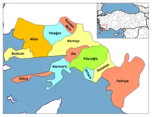
Köyceğiz is a municipality and district of Muğla Province, Turkey.[2] Its area is 1,329 km2,[3] and its population is 39,242 (2022).[1]
Köyceğiz | |
|---|---|
 | |
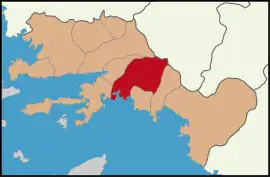 Map showing Köyceğiz District in Muğla Province | |
 Köyceğiz Location in Turkey 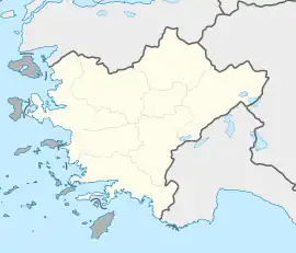 Köyceğiz Köyceğiz (Turkey Aegean) | |
| Coordinates: 36°58′17″N 28°41′20″E | |
| Country | Turkey |
| Province | Muğla |
| Government | |
| • Mayor | Kamil Ceylan (AKP) |
| Area | 1,329 km2 (513 sq mi) |
| Elevation | 27 m (89 ft) |
| Population (2022)[1] | 39,242 |
| • Density | 30/km2 (76/sq mi) |
| Time zone | TRT (UTC+3) |
| Postal code | 48800 |
| Area code | 0252 |
| Website | www |
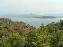
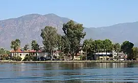
The town of Köyceğiz lies at the northern end of a lake of the same name (Lake Köyceğiz) which is joined to the Mediterranean Sea by a natural channel called Dalyan Delta. Its unique environment is being preserved as a nature and wildlife sanctuary, the Köyceğiz-Dalyan Special Environmental Protection Area. A road shaded with trees leads to the township that carries the same name as the river, Dalyan, which is situated on the inland waterway and is administratively a part of the neighboring district of Ortaca. Dalyan is highly popular with visitors and its maze of channels can be explored by boat. The restaurants which line the waterways specialize in fresh fish. High on the cliff face, at a bend in the river, above the ancient harbor city of Caunos, tombs were carved into the rocks. The Dalyan Delta, with a long, golden sandy beach at its mouth, is a nature conservation area and a refuge for rare loggerhead turtles (Caretta caretta) and blue crabs.
Composition
There are 25 neighbourhoods in Köyceğiz District:[4]
- Akköprü
- Balcılar
- Beyobası
- Çandır
- Çayhisar
- Döğüşbelen
- Ekincik
- Gelişim
- Gülpınar
- Hamitköy
- Karaçam
- Kavakarası
- Köyceğiz
- Otmanlar
- Pınar
- Sazak
- Sultaniye
- Toparlar
- Ulucami
- Yangı
- Yayla
- Yeni
- Yeşilköy
- Zaferler
- Zeytinalanı
References
- "Address-based population registration system (ADNKS) results dated 31 December 2022, Favorite Reports" (XLS). TÜİK. Retrieved 19 September 2023.
- Büyükşehir İlçe Belediyesi, Turkey Civil Administration Departments Inventory. Retrieved 19 September 2023.
- "İl ve İlçe Yüz ölçümleri". General Directorate of Mapping. Retrieved 19 September 2023.
- Mahalle, Turkey Civil Administration Departments Inventory. Retrieved 19 September 2023.
External links
