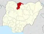
Kafur, Nigeria
Kafur is a Local Government Area in Katsina State, Nigeria. Its headquarters is located in the town of Kafur.
Kafur | |
|---|---|
LGA and town | |
| Nickname: Town of Dangaladima | |
| Motto(s): The town of Dangaladima, home of Maize and Sorghum | |
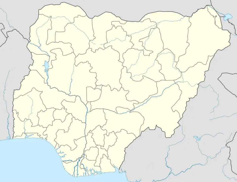 Kafur Location in Nigeria | |
| Coordinates: 11°39′N 7°42′E | |
| Country | |
| State | Katsina State |
| Area | |
| • Total | 1,106 km2 (427 sq mi) |
| Population (2006 census) | |
| • Total | 202,884 |
| Time zone | UTC+1 (WAT) |
| 3-digit postal code prefix | 832 |
| Area code | 832103 |
| ISO 3166 code | NG.KT.KF |
It has an area of 1,106 km2 and a population of 202,884 at the 2006 census.
Wards in Kafur
- Dantutture
- Dutsen Kura/Kanya
- Gamzago
- Kafur
- Mahuta
- Masari
- Sabuwar Kasa
- Yari Bori
- Yartalata/Rigoji
- Gozaki
The postal code of the area is 832.[1]
Climate
Kafur experiences a tropical savanna climate with a warm, wet season and dry season. The average annual temperature is 63°, with 165 inches of rain annually. The climate is dry for 240 days, with an average humidity.[2][3]
Geography of Kafur
Kafur Local Government Area covers a total expanse of 1,106 square kilometers and maintains an average temperature of 34 degrees Celsius. This region experiences two well-defined seasons: the rainy season and the dry season. The estimated average wind speed in Kafur Local Government Area is 11 kilometers per hour, and the total annual precipitation is estimated at around 900 millimeters of rainfall.[4]
Economy of Kafur
Agriculture plays a significant role in Kafur Local Government Area's economy, where crops like onions and sorghum are cultivated in substantial quantities. Commerce also thrives in the Local Government Area featuring several markets, including the Sabuwar Kasa cattle market and the Kafur main market. Additionally, the people of Kafur Local Government Area engage in other vital economic activities such as hunting, pottery, and leatherworking.[5]
Polling Unit
- Tafkin Jagge Ii Layin Ya'u
- Suran Ii Near Maiunguwa House
- Jange Ii Kofar Gidan Maiunguwa
- Bagari Ii South End
- Ung Barkono Unguwar Barkono
References
- "Post Offices- with map of LGA". NIPOST. Archived from the original on 2009-10-07. Retrieved 2009-10-20.
- "Kafur weather and climate ☀️ Best time to visit 🌡️ Temperature". www.besttravelmonths.com. Retrieved 2023-08-28.
- "Kafur Climate, Weather By Month, Average Temperature (Nigeria) - Weather Spark". weatherspark.com. Retrieved 2023-08-28.
- "Kafur Local Government Area". www.manpower.com.ng. Retrieved 2023-10-25.
- "Kafur Local Government Area". www.manpower.com.ng. Retrieved 2023-10-25.
State capital: Katsina | ||
| Topics |
|  |
| LGAs | ||