Kagera, Kigoma-Ujiji
Kagera is an administrative ward in Kigoma-Ujiji District of Kigoma Region in Tanzania. The ward covers an area of 24.3 km2 (9.4 sq mi),[2] and has an average elevation of 786 m (2,579 ft).[3] In 2016 the Tanzania National Bureau of Statistics report there were 9,950 people in the ward, from 9,040 in 2012.[1]: 123 [4]: 150
Kagera
| |
|---|---|
| Kata ya Kagera, Wilaya ya Kigoma-Ujiji | |
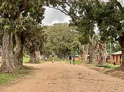 Entry to Mango Row, Kagera Ward, Kigoma-Ujiji | |
 Kagera | |
| Coordinates: 4°55′14.52″S 29°41′47.4″E | |
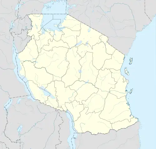
| Country | Tanzania |
| Region | Kigoma Region |
| District | Kigoma-Ujiji District |
| Area | |
| • Total | 24.3 km2 (9.4 sq mi) |
| Elevation | 786 m (2,579 ft) |
| Population | |
| • Total | 9,950 |
| • Density | 410/km2 (1,100/sq mi) |
| Tanzanian Postal Code | 47113 |
References
- 2016 Makadirio ya Idadi ya Watu katika Majimbo ya Uchaguzi kwa Mwaka 2016, Tanzania Bara [Population Estimates in Administrative Areas for the Year 2016, Mainland Tanzania] (PDF) (Report) (in Swahili). Dar es Salaam, Tanzania: National Bureau of Statistics. 2016-04-01. Archived (PDF) from the original on 2021-12-27. Retrieved 2022-07-03.
- "Tanzania: Lake Zone Tanzania (Districts and Wards) – Population Statistics, Charts and Map".
- "Kagera Elevation".
- 2012 Population and Housing Census - Population Distribution by Administrative Areas (PDF) (Report). Dar es Salaam, Tanzania: National Bureau of Statistics. 2013-03-01. Archived (PDF) from the original on 2022-03-26. Retrieved 2022-07-03.
- "Kagera Postcodes" (PDF). Dodoma, Tanzania: Tanzania Communications Regulatory Authority. Archived (PDF) from the original on 29 July 2022. Retrieved 13 August 2022.
This article is issued from Wikipedia. The text is licensed under Creative Commons - Attribution - Sharealike. Additional terms may apply for the media files.