Kalkeri
Kalakeri is a village in Northern part of Karnataka, India.[1] It is located in the Sindgi taluk of Vijayapura district in Karnataka. Pincode is 586118.
Kalakeri, Vijayapura district | |
|---|---|
village | |
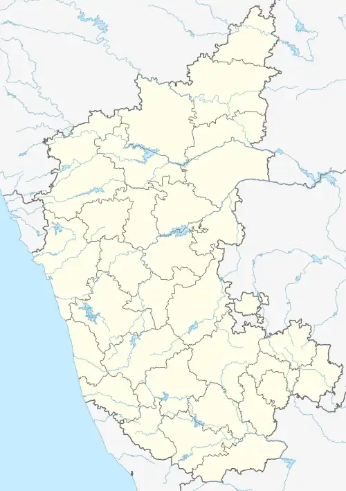 Kalakeri, Vijayapura district Location in Karnataka, India  Kalakeri, Vijayapura district Kalakeri, Vijayapura district (India) | |
| Coordinates: 16.670143°N 76.309494°E | |
| Country | |
| State | Karnataka |
| District | Bijapur |
| Talukas | Sindgi |
| Government | |
| • Type | Panchayat raj |
| • Body | Gram panchayat |
| Population (2001) | |
| • Total | 7,662 |
| Languages | |
| • Official | Kannada |
| Time zone | UTC+5:30 (IST) |
| ISO 3166 code | IN-KA |
| Vehicle registration | KA |
| Website | karnataka |
This should not be confused with the similarly spelled Kalkeri village in Haveri district, about 20 kilometers southwest from Haveri, with two important Hoysala era temples – Someshwara temple (trikuta) and Basaveshwara temple (chaturkuta).[2] Furthermore, it should not be confused with three villages all named Kalkere – one near Bengaluru, other north of Soraba and near Hangal (with an important two-sanctum Hoysala temple), and third in a horse-shoe shaped valley south of Channagiri.
Demographics
As of 2001 India census, Kalakeri had a population of 7662 with 3866 males and 3796 females.[1]
See also
References
- Village code= 228700 "Census of India : Villages with population 5000 & above". Registrar General & Census Commissioner, India. Archived from the original on 8 December 2008. Retrieved 18 December 2008.
- Madhusudan A. Dhaky; Michael Meister (1996). Encyclopaedia of Indian Temple Architecture, Volume 1 Part 3 South India Text & Plates. American Institute of Indian Studies. pp. 77–78. ISBN 978-81-86526-00-2.
External links
District HQ: Bijapur | |
| Villages and Towns |
|
This article is issued from Wikipedia. The text is licensed under Creative Commons - Attribution - Sharealike. Additional terms may apply for the media files.