Kalvskinnet
Kalvskinnet is a neighborhood in the city of Trondheim in Trøndelag county, Norway. It is situated southwest of the city centre in the borough of Midtbyen, bordering the river Nidelva in the south. The area is dominated by public offices, including such institutions as the Norwegian University of Science and Technology, Sør-Trøndelag University College, and Trondheim Science Museum. There is also some quite expensive housing located in this area, characterized by buildings from the last century.[2]
Kalvskinnet
Kalvskinn | |
|---|---|
Neighborhood in Trondheim | |
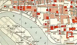
 Map of the neighborhood (1898) | |
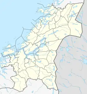
 Kalvskinnet Location of the neighborhood  Kalvskinnet Kalvskinnet (Norway) | |
| Coordinates: 63.4276°N 10.3902°E | |
| Country | Norway |
| Region | Central Norway |
| County | Trøndelag |
| Municipality | Trondheim |
| Borough | Midtbyen |
| Elevation | 14 m (46 ft) |
| Time zone | UTC+01:00 (CET) |
| • Summer (DST) | UTC+02:00 (CEST) |
The present name first occurs in 1556. In Sverris saga, the location was called akeren. In 1179, Kalvskinnet was the site of the Battle of Kalvskinnet (Slaget på Kalvskinnet) between King Sverre Sigurdsson and Erling Skakke.[3]
References
- "Kalvskinnet, Trondheim (Trøndelag)". yr.no. Retrieved 2018-03-19.
- Rosvold, Knut A., ed. (2015-06-01). "Kalvskinnet". Store norske leksikon (in Norwegian). Kunnskapsforlaget. Retrieved 2018-03-19.
- "Slaget på Kalvskinnet i Sverressaga". University of Bergen. Archived from the original on 2016-02-03. Retrieved 2016-01-25.
This article is issued from Wikipedia. The text is licensed under Creative Commons - Attribution - Sharealike. Additional terms may apply for the media files.
