Kamalapur, Kalaburagi
Kamalapur is a panchayat town and new taluka in Kalaburagi district in Karnataka. It is 34 km from Gulbarga.[2][3]
Kamalapur | |
|---|---|
town | |
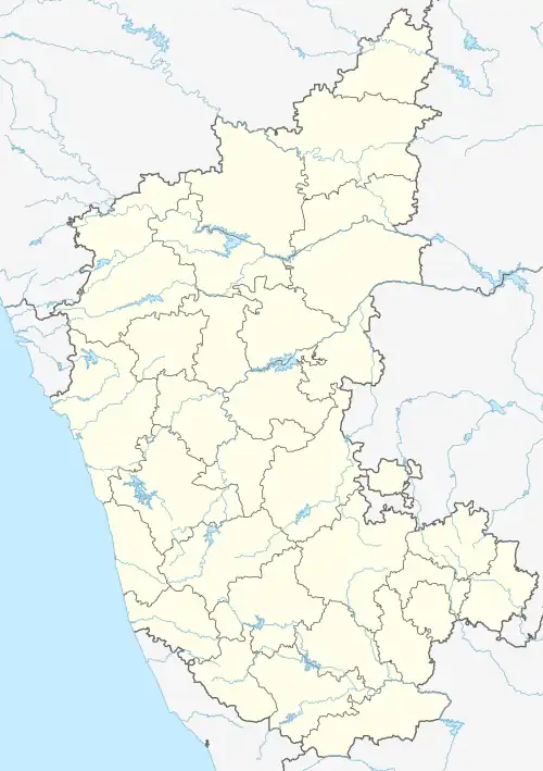
 Kamalapur Location in Karnataka, India Show map of Karnataka Kamalapur Kamalapur (India) Show map of India | |
| Coordinates: 17.578°N 76.989°E / 17.578; 76.989 | |
| Country | |
| State | Karnataka |
| District | Kalaburagi |
| Government | |
| • Body | Grampanchayat[1] |
| Population (2011) | |
| • Total | 11,071 |
| Languages | |
| • Official | Kannada |
| Time zone | UTC+5:30 (IST) |
| PIN | 585313 |
| Telephone code | 08478 |
| Nearest city | Gulbarga |
Demographics
As of 2011 India census Kamalapur had a population of 11071 with 5667 males and 5404 females .[4]
Education
Schools within Kamalapur include:
- The government higher primary school of Kamalapur[5]
- Hke society ITI College[6]
References
- "gulbarga dist,gulbarga taluk,Kamalapur grampanchayat". www.gulbarga.nic.in. Archived from the original on 24 June 2016. Retrieved 25 May 2016.
- "Kamalapur,Gulbarga village". www.census2011.co.in. Retrieved 25 May 2016.
- "Map Kamalapur,Gulbarga district". www.google.co.in/maps. Retrieved 25 May 2016.
- "Kamalapur,gulbarga census 2011". www.census2011.co.in. Retrieved 25 May 2016.
- "Government higher primary school Kamalapur". www.themoderneducation.com. Retrieved 25 May 2016.
- "Hke society ITI kamalapur". hkes.edu.in. Retrieved 25 May 2016.
![]() This article incorporates text from this source, which is in the public domain.
This article incorporates text from this source, which is in the public domain.
District HQ: Kalaburagi | |
| Villages and Towns |
|
This article is issued from Wikipedia. The text is licensed under Creative Commons - Attribution - Sharealike. Additional terms may apply for the media files.