Wadgera, Kalaburagi
Wadgera is a panchayat village[2] in the southern state of Karnataka, India.[1][3][4] Administratively, Wadgera is under the Jevargi Taluka, Kalaburagi district, Karnataka.[4] Wadgera is 5 km by road north of the village of Hadnoor and 64 km by road southwest of the taluka headquarters village of Jevargi.
Wadgera | |
|---|---|
village | |
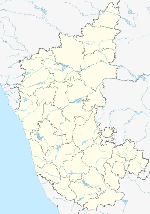 Wadgera Location in Karnataka, India | |
| Coordinates: 16°46′5″N 76°32′54″E | |
| Country | |
| State | Karnataka |
| District | Kalaburagi |
| Taluka | Jevargi |
| Population (2001)[1] | |
| • Total | 3,197 |
| Languages | |
| • Official | Kannada |
| Time zone | UTC+5:30 (IST) |
There are four villages in the Wagera gram panchayat: Wadgera, Dumadri, Hangerga (K), and Sumbad.[4]
Demographics
As of 2001 India census, Wadgera had a population of 3,197 with 1,603 males and 1,594 females.[1]
References
- 2001 Village code= 342700, "Village wise statistics of Jewaragi Taluka". Gulbarga District. Archived from the original on 10 April 2009.
- 2011 Village Panchayat Code = 221113, "Reports of National Panchayat Directory: Village Panchayat Names of Jewargi, Gulbarga, Karnataka". Ministry of Panchayati Raj, Government of India. Archived from the original on 21 April 2013.
- "Yahoomaps India :". Retrieved 18 December 2008. Wadgera, Gulbarga, Karnataka
- 2011 Census Village code = 620809, "Reports of National Panchayat Directory: List of Census Villages mapped for: Wagera Gram Panchayat, Jevargi, Gulbarga, Karnataka". Registrar General & Census Commissioner, India. Archived from the original on 21 April 2013.
External links
District HQ: Kalaburagi | |
| Villages and Towns |
|
This article is issued from Wikipedia. The text is licensed under Creative Commons - Attribution - Sharealike. Additional terms may apply for the media files.