Kameeldrift
Kameeldrift is a suburb / farming area of Pretoria. It is located 20 km north east of Pretoria CBD. The center of this small community is the primary school, named Kameeldrift Laerskool.
Kameeldrift | |
|---|---|
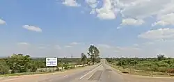
 The R573, near Roodeplaat Dam, that runs through Kameeldrift | |
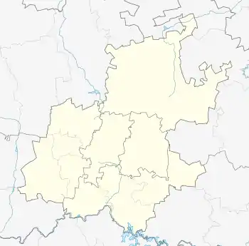
 Kameeldrift  Kameeldrift | |
| Coordinates: 25.6383°S 28.3073°E | |
| Country | South Africa |
| Province | Gauteng |
| Municipality | City of Tshwane |
| Area | |
| • Total | 32.76 km2 (12.65 sq mi) |
| Population (2011)[1] | |
| • Total | 6,727 |
| • Density | 210/km2 (530/sq mi) |
| Racial makeup (2011) | |
| • Black African | 68.5% |
| • Coloured | 0.6% |
| • Indian/Asian | 0.1% |
| • White | 30.5% |
| • Other | 0.4% |
| First languages (2011) | |
| • Northern Sotho | 29.1% |
| • Afrikaans | 27.9% |
| • S. Ndebele | 8.2% |
| • Tsonga | 7.3% |
| • Other | 27.5% |
| Time zone | UTC+2 (SAST) |
Sectors
The Kameeldrift Police Precinct consists of 5 sectors:[2] Sector 1
- Downbern
- Wallmanstahl
- Paardefontein
Sector 2A
- Rynoue
- Buffelsdrift
- Kameeldrift
Sector 2B
- Pumulani
- Walmaranspoort
- Derdepoort
Sector 2C
- Zeekoegat
- Roodeplaat
- Kameeldrift
Sector 3/4
- Leeuwfontein
- Baviaanspoort
- Kameelfontein
References
- "Main Place Kameeldrift". Census 2011.
- "Welcome to the SAPS Kameeldrift Reservists' website". Archived from the original on 2010-01-31. Retrieved 2008-11-01.
External links
This article is issued from Wikipedia. The text is licensed under Creative Commons - Attribution - Sharealike. Additional terms may apply for the media files.
.svg.png.webp)