Kamiane, Zaporizhzhia Oblast
Kamiane (Ukrainian: Кам'яне) is an urban-type settlement in Zaporizhzhia Raion, Zaporizhzhia Oblast, southern Ukraine. It was formerly administered within Vilniansk Raion until 2020. Population: 1,117 (2022 estimate).[3] Kamiane is the administrative center of Kamiane Council, a local government area.
Kamiane
Кам'яне | |
|---|---|
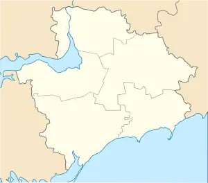 Kamiane Location of Kamiane 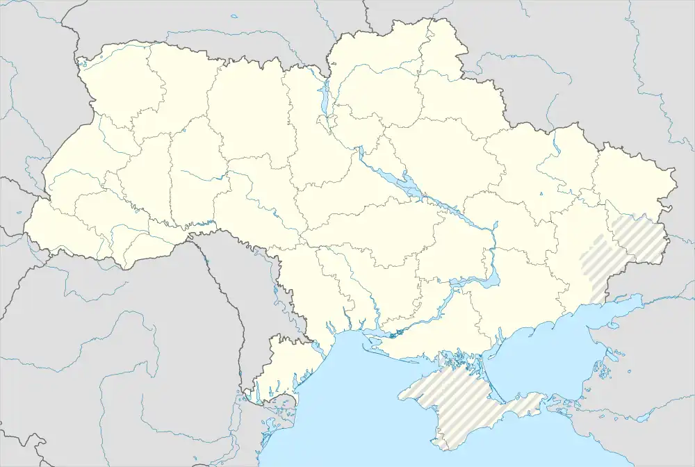 Kamiane Kamiane (Ukraine) | |
| Coordinates: 47°52′28″N 35°23′57″E | |
| Country | |
| Oblast | |
| Raion | Zaporizhzhia Raion |
| Founded | 1886[1] |
| Settlement status | 11 February 1986[1] |
| Area | |
| • Total | 2 km2 (0.8 sq mi) |
| Elevation | 100 m (300 ft) |
| Population (2022) | |
| • Total | 1,117 |
| • Density | 560/km2 (1,400/sq mi) |
| Time zone | UTC+2 (EET) |
| • Summer (DST) | UTC+3 (EEST) |
| Postal code | 70050 |
| Area code | +380 6143 |
| Climate | Dfa |
The settlement was first founded in 1886 as a settlement Voznesenivka[1] or Vozdvyzhenka[2] (Ukrainian: Велика Катеринівка). After the World War II it was renamed as Kamiane.[1] On 11 February 1986 it became an urban-type settlement.[1]
References
- Historic reference (Історична довідка). Kamiane settlement council.
- "Kamiane (Кам'яне)". mistaua.com. Retrieved 22 June 2019.
- Чисельність наявного населення України на 1 січня 2022 [Number of Present Population of Ukraine, as of January 1, 2022] (PDF) (in Ukrainian and English). Kyiv: State Statistics Service of Ukraine. Archived (PDF) from the original on 4 July 2022.
This article is issued from Wikipedia. The text is licensed under Creative Commons - Attribution - Sharealike. Additional terms may apply for the media files.