Kearsarge Mountain State Forest
Kearsarge Mountain State Forest is a 3,893-acre (1,575 ha) state forest in the towns of Warner, Wilmot, Andover, and Salisbury, New Hampshire, United States. In 1922 it encompassed 839 acres (340 ha).[1] The state forest covers the summit and most of the slopes of Mount Kearsarge, the highest point in Merrimack County. Winslow State Park is in the northern part of the state forest, and Rollins State Park is at the southern edge.
| Kearsarge Mountain State Forest | |
|---|---|
| Mount Kearsarge State Forest | |
IUCN category V (protected landscape/seascape) | |
 The southern slopes of Mount Kearsarge, including Mission Ridge | |
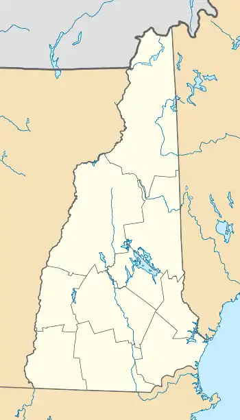
 Location in New Hampshire  Location in United States | |
| Location | Merrimack County, New Hampshire |
| Coordinates | 43°22′59″N 71°51′25″W |
| Area | 3,893 acres (15.75 km2) |
| Established | 1922 |
| Governing body | New Hampshire Department of Natural and Cultural Resources |
See also
References
- Legislature, New York (State) (1922). "New York Legislative Documents".
External links
- U.S. Geological Survey Map at the U.S. Geological Survey Map Website. Retrieved January 6, 2023.
This article is issued from Wikipedia. The text is licensed under Creative Commons - Attribution - Sharealike. Additional terms may apply for the media files.