Ketcherside Mountain
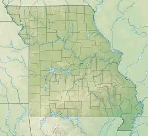
Ketcherside Mountain is a summit in Iron County in the U.S. state of Missouri.[2] The peak lies about 4+1⁄2 miles (7 km) southeast of Taum Sauk Mountain and about 6+1⁄2 miles (10 km) south-southwest of Ironton. Hogan and Hogan Mountain lie to the west-southwest.[3]
| Ketcherside Mountain | |
|---|---|
 Ketcherside Mountain | |
| Highest point | |
| Elevation | 1,698 ft (518 m)[1] |
| Coordinates | 37°31′25″N 90°40′08″W[2] |
| Geography | |
| Location | Iron County, Missouri, U.S. |
| Parent range | Saint Francois Mountains |
| Topo map | USGS Ironton |
Ketcherside Mountain has the name of the local Ketcherside (or Catcherside) family.[4]
References
- Ironton, Missouri, 7.5 Minute Topographic Quadrangle, USGS, 1968
- "Ketcherside Mountain". Geographic Names Information System. United States Geological Survey, United States Department of the Interior. Retrieved 2017-06-23.
- Missouri Atlas & Gazetteer, DeLorme, 1998, First edition, p. 56 ISBN 0-89933-224-2
- "Iron County Place Names, 1928–1945 (archived)". The State Historical Society of Missouri. Archived from the original on 24 June 2016. Retrieved 12 October 2016.
{{cite web}}: CS1 maint: bot: original URL status unknown (link)
This article is issued from Wikipedia. The text is licensed under Creative Commons - Attribution - Sharealike. Additional terms may apply for the media files.